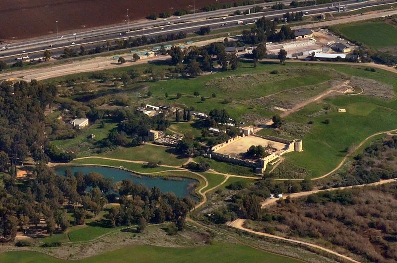
Tomb of Benjamin, Kfar Saba

Gallery (1)
Map
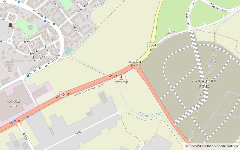
Map
Facts and practical information
The Tomb of Benjamin is the traditional burial site of Benjamin according to Judaism, the twelfth and last son of Jacob. In the other side of the bypass road there is also another Islamic shrine called "Nabi Sawarka". ()
Local name: נבי ימיןCoordinates: 32°10'45"N, 34°56'42"E
Address
Kfar Saba
ContactAdd
Social media
Add
Day trips