Khirbat Al-Burj, Caesarea

Gallery (2)
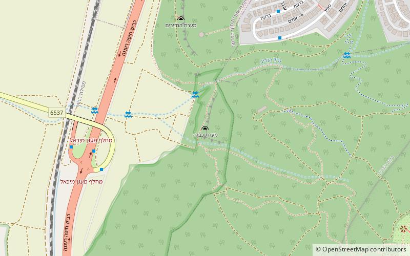
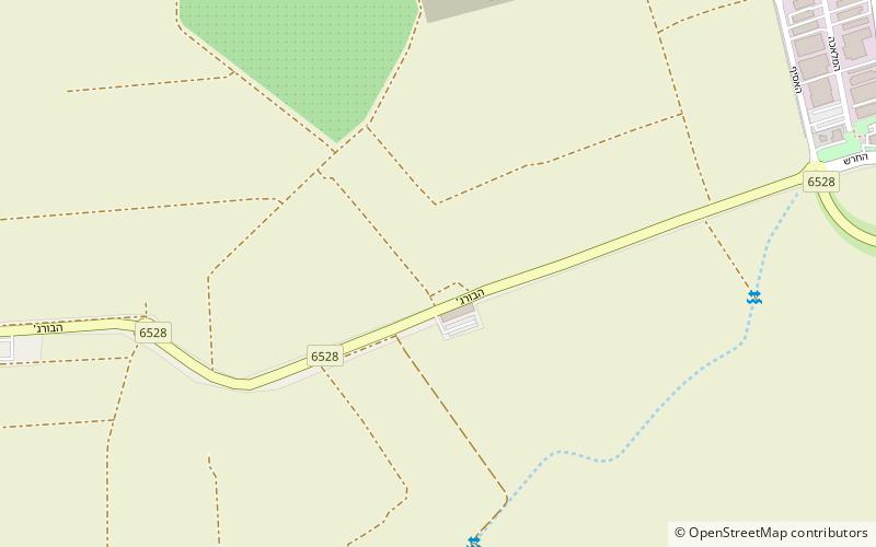
Map
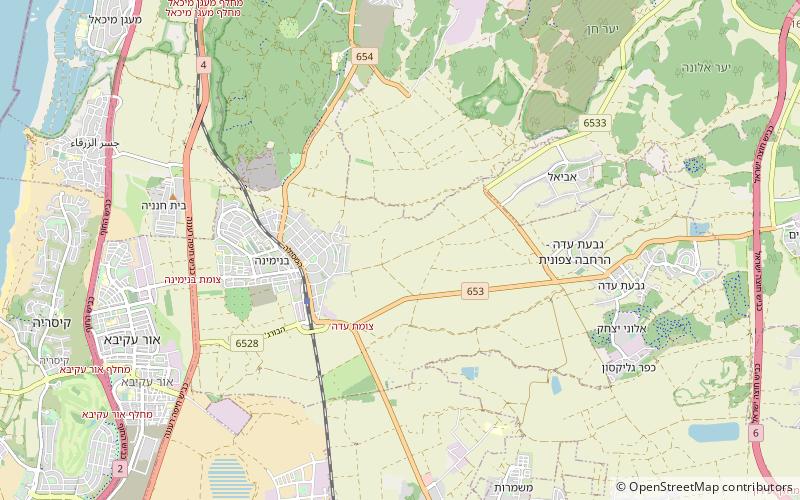
Map
Gallery
Facts and practical information
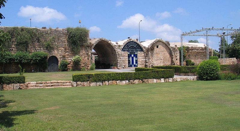
Khirbat Al-Burj was a former Palestinian village, depopulated in 1948. Presently, Khirbat Al-Burj or Burj Binyamina is a ruined stone-built structure in the Sharon Plain 1 km south of Binyamina from the Ottoman period, situated at a crossroads and believed to be either a mansion connected to an estate, a fortified farmhouse, or a khan. ()
Local name: בורג' בנימינהCoordinates: 32°30'34"N, 34°56'26"E
Address
Caesarea
ContactAdd
Social media
Add
Day trips