Geha, Tel Aviv
Map
Map

Facts and practical information
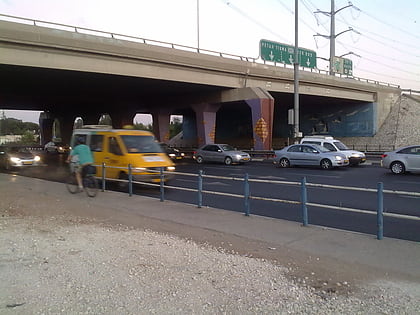
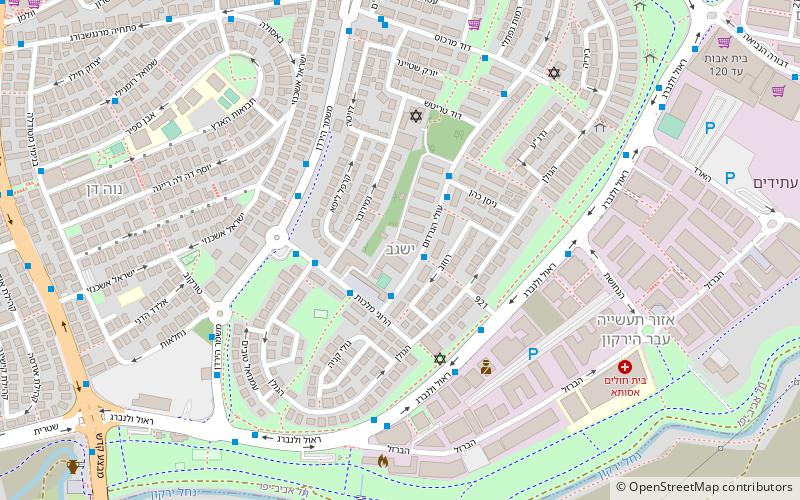
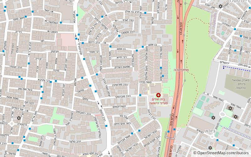
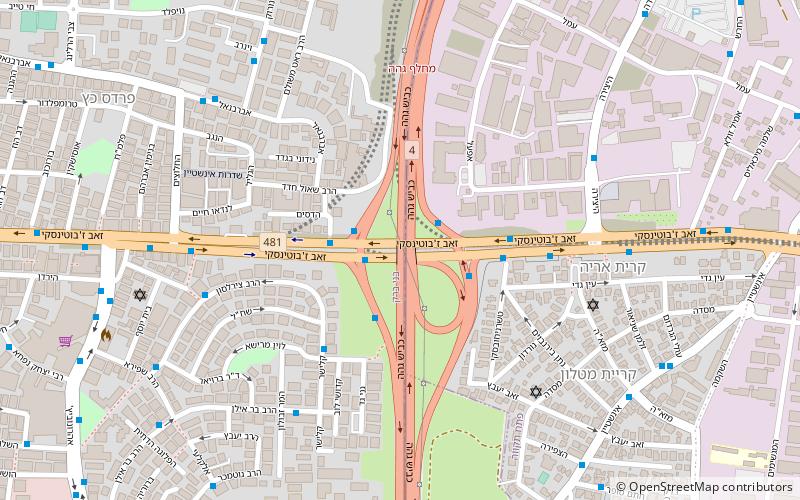
The Geha Interchange is the confluence of Highway 4 and Road 481 in Israel. The interchange is named after the Geha Mental Health Center, which was once located near the Interchange. but was moved when it was decided to construct the Interchange. The interchange opened to traffic on March 30, 1981. ()
Local name: מחלף גההOpened: 30 March 1981 (44 years ago)Coordinates: 32°5'33"N, 34°50'45"E
Address
Tel Aviv
ContactAdd
Social media
Add
Day trips
Geha – popular in the area (distance from the attraction)
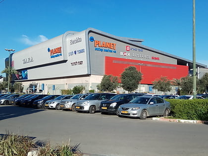
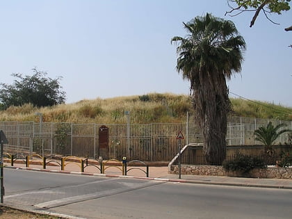
Nearby attractions include: Ayalon Mall, Ramat Gan Stadium, Tel Zeton, Bnei Brak.
Frequently Asked Questions (FAQ)
Which popular attractions are close to Geha?
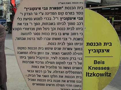
Nearby attractions include Ramat Aharon, Petah Tikva (14 min walk), Tel Zeton, Tel Aviv (18 min walk), Itzkovitch Synagogue, Tel Aviv (20 min walk), Bnei Brak, Tel Aviv (22 min walk).
How to get to Geha by public transport?
The nearest stations to Geha:
Bus
Train
Bus
- HeHarash Terminal (14 min walk)
- Ovnat Bus Terminal (30 min walk)
Train
- Bne Brak (30 min walk)
- Petah Tikva-Kiryat Arye (36 min walk)
