Peace Forest, Jerusalem
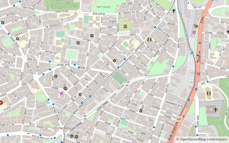
Map
Gallery
Facts and practical information
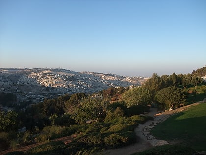
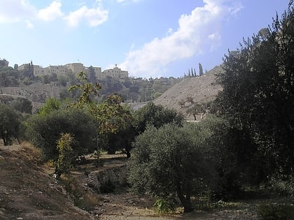
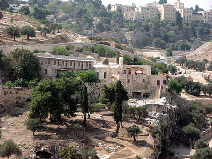
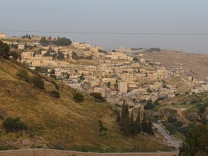
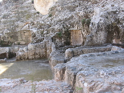
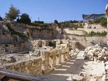
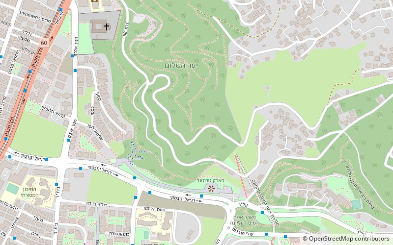
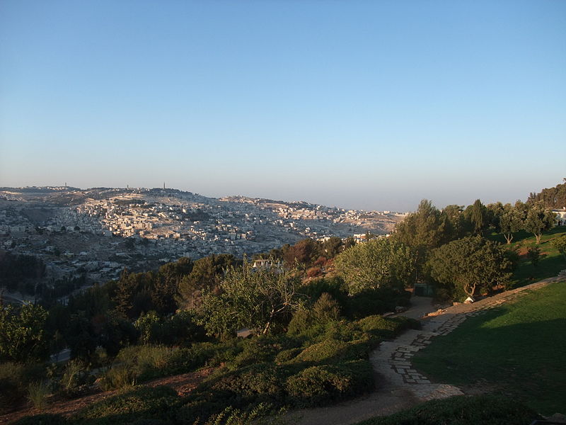
Peace forest is a forest in South - Southeast Jerusalem, between the Abu Tor neighbourhood and the Sherover Promenade. ()
Local name: יער השלוםCoordinates: 31°45'26"N, 35°13'50"E
Address
Jerusalem
ContactAdd
Social media
Add
Day trips
Peace Forest – popular in the area (distance from the attraction)
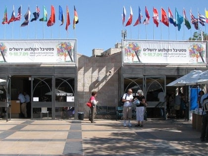
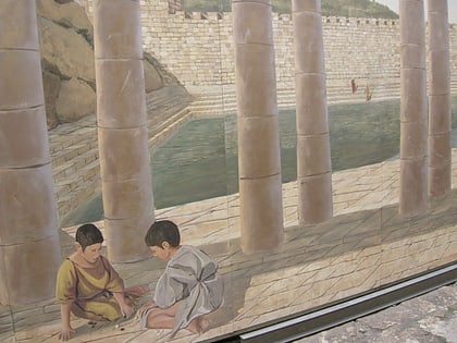
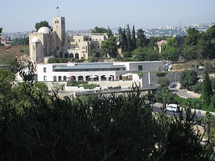
Nearby attractions include: Church of Saint Peter in Gallicantu, Jerusalem Cinematheque, Valley of Hinnom, Pool of Siloam.
Frequently Asked Questions (FAQ)
Which popular attractions are close to Peace Forest?
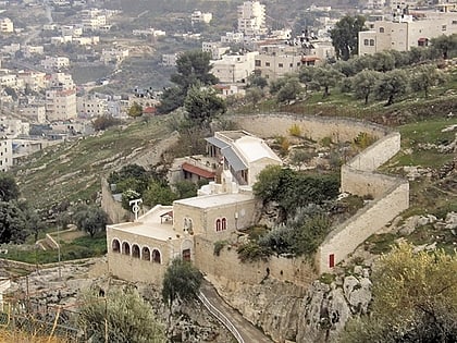
Nearby attractions include Talpiot Tomb, Jerusalem (13 min walk), Tolerance Monument, Jerusalem (13 min walk), Abu Tor, Jerusalem (14 min walk), East Talpiot, Jerusalem (15 min walk).
How to get to Peace Forest by public transport?
The nearest stations to Peace Forest:
Bus
Bus
- Hevron Road/Esther HaMalka • Lines: 231 (12 min walk)
