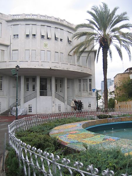
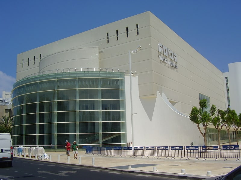
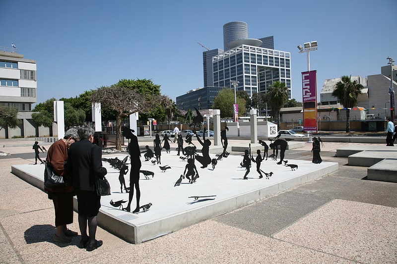
City Hall, Tel Aviv

Gallery (2)
Map
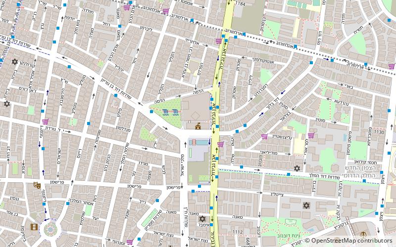
Map
Gallery
Facts and practical information
Local name: בית עיריית תל אביב-יפו Completed: 1966 (58 years ago)Architectural style: BrutalismCoordinates: 32°4'55"N, 34°46'50"E
Address
הצפון הישן-מרכז (hzpwn hysn-mrkz)Tel Aviv
ContactAdd
Social media
Add
Getting there by public transportation
Public transportation stops near this location
- Bus
- Train
 Bus
Bus
- Calculate routenamir jabotinstky 23 min walk
- Calculate routeTerminal 2000 24 min walk
- Calculate routeReading Terminal 31 min walk
- Calculate routeCarmelit 35 min walk
- Calculate routeTel Aviv Hashalom 24 min walk
- Calculate routeTel Aviv Savidor Center 27 min walk
Day trips

Frequently Asked Questions (FAQ)
Which popular attractions are close to City Hall?
Nearby attractions include Rabin Square, Tel Aviv (2 min walk), Ibn Gabirol Street, Tel Aviv (3 min walk), Masaryk Square, Tel Aviv (7 min walk), Dubnow Garden, Tel Aviv (10 min walk).
How to get to City Hall by public transport?
The nearest stations to City Hall:
Bus
Train
Bus
- namir jabotinstky (23 min walk)
- Terminal 2000 (24 min walk)
Train
- Tel Aviv Hashalom (24 min walk)
- Tel Aviv Savidor Center (27 min walk)