Yeruham Dam
Map

Gallery

Facts and practical information
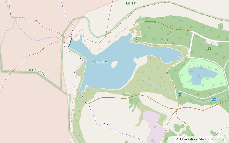
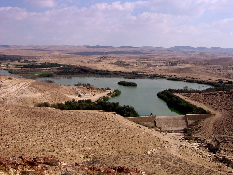
Tel-Yeruham Dam, also known as, Yeruham Dam is a masonry dam situated on the Revivim Stream, a tributary of the HaBesor Stream, in Yeruham, Southern District, Israel. The dam has many purposes which include flood control, irrigation, municipal water supply, tourism and recreation. It impounded Lake Yeruham between 1953 and 1954. In 1974 the area around the lake was improved with plants and facilities to improve recreation. ()
Opened: 1954 (72 years ago)Length: 262 ftHeight: 49 ftReservoir area: 149.99 acres (0.2344 mi²)Coordinates: 30°59'17"N, 34°53'41"E
Location
HaDarom
ContactAdd
Social media
Add
Day trips
Yeruham Dam – popular in the area (distance from the attraction)
Nearby attractions include: Yerucham, HaMakhtesh HaGadol.


