Shmuel HaNavi Street, Jerusalem
Map

Gallery
Facts and practical information
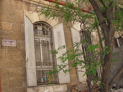
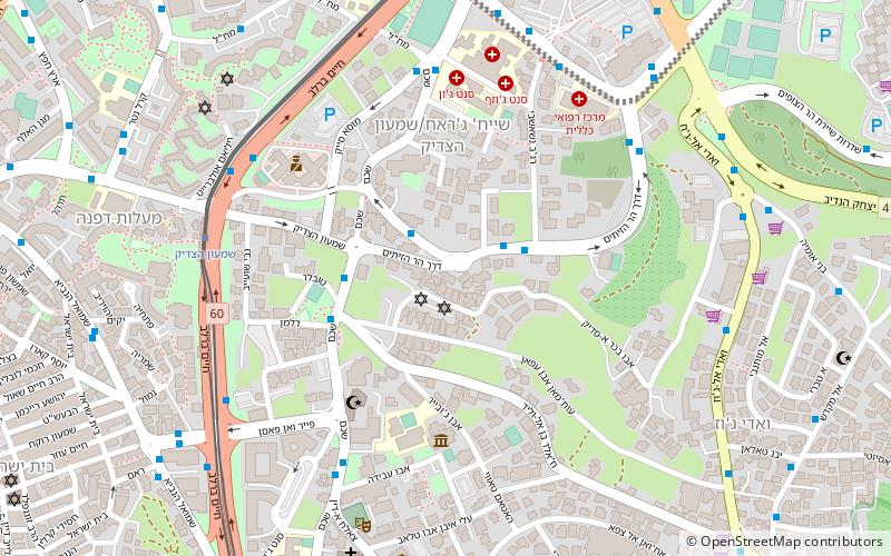
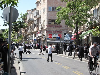
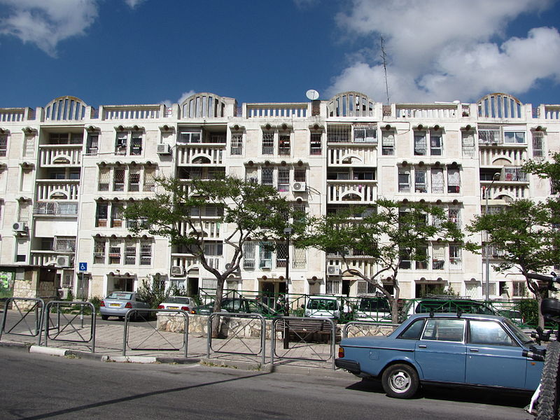
Shmuel HaNavi Street is a main road in north-central Jerusalem. It starts at the intersection of St. George and Shivtei Israel Streets near Highway 60, and merges into Golda Meir Boulevard just past the intersection of Bar-Ilan and Hativat Harel Streets. The continuation of the street winds up to the tomb of Samuel the prophet, after whom the street is named. ()
Coordinates: 31°47'42"N, 35°13'21"E
Address
Shmuel Hanavi 92שמואל הנביא (smwl hnby)Jerusalem
ContactAdd
Social media
Add
Day trips
Shmuel HaNavi Street – popular in the area (distance from the attraction)
Nearby attractions include: Clal Center, Ticho House, Tombs of the Sanhedrin, Tombs of the Kings.
Frequently Asked Questions (FAQ)
Which popular attractions are close to Shmuel HaNavi Street?
Nearby attractions include Arzei HaBira, Jerusalem (4 min walk), Ma'alot Dafna, Jerusalem (5 min walk), Sanhedria Cemetery, Jerusalem (5 min walk), Bukharan Quarter, Jerusalem (8 min walk).
How to get to Shmuel HaNavi Street by public transport?
The nearest stations to Shmuel HaNavi Street:
Bus
Train
Bus
- מסוף הר חוצבים (18 min walk)
- Damascus gate bus station (22 min walk)
Train
- Jerusalem - Yitzhak Navon (33 min walk)
