Tana'im grave, Masada
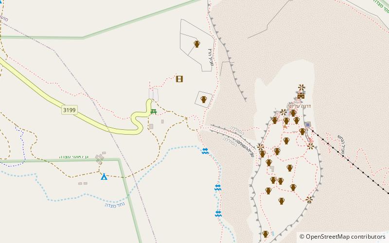
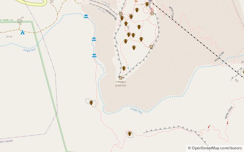
Map
Facts and practical information
Tana'im grave is a place located in Masada (HaDarom district) and belongs to the category of memorial.
It is situated at an altitude of -102 feet, and its geographical coordinates are 31°19'3"N latitude and 35°20'59"E longitude.
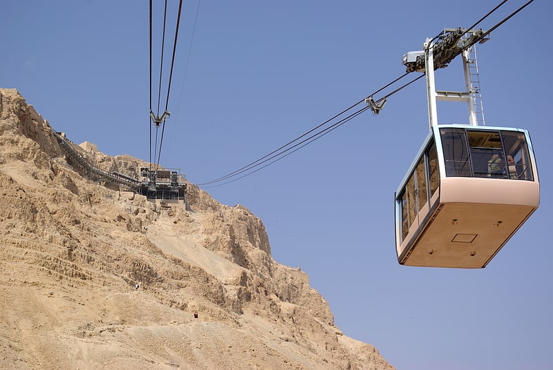
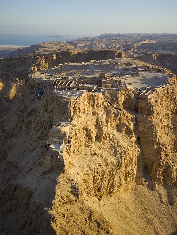
Among other places and attractions worth visiting in the area are: Massada (nature, 7 min walk), Southern Fortress, Arad (view point, 10 min walk), Masada cableway (aerial tramway, 14 min walk).
Coordinates: 31°19'3"N, 35°20'59"E
Address
Masada
ContactAdd
Social media
Add
Day trips
Tana'im grave – popular in the area (distance from the attraction)
Nearby attractions include: Masada cableway, Massada, Southern Fortress.
Frequently Asked Questions (FAQ)
Which popular attractions are close to Tana'im grave?
Nearby attractions include Massada, Masada (7 min walk), Southern Fortress, Arad (10 min walk), Masada cableway, Masada (14 min walk).