Tell el-Hammeh

Map
Facts and practical information
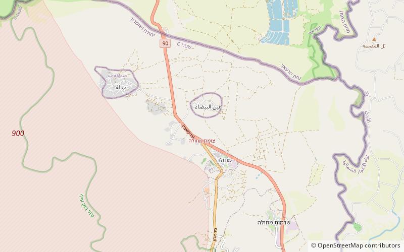
Tell el-Hammeh is a medium-size archaeological tell in the West Bank, at the southern fringe of the Beit She'an valley. It has been identified with the Canaanite city state of Hammath, mentioned in a late-13th century BCE Egyptian inscription. ()
Coordinates: 32°22'30"N, 35°30'30"E
Location
West Bank
ContactAdd
Social media
Add
Day trips
Tell el-Hammeh – popular in the area (distance from the attraction)
Nearby attractions include: Mount Gilboa, Tel Tsaf, Mehola.


