Al-Sinnabra
Map

Map

Facts and practical information
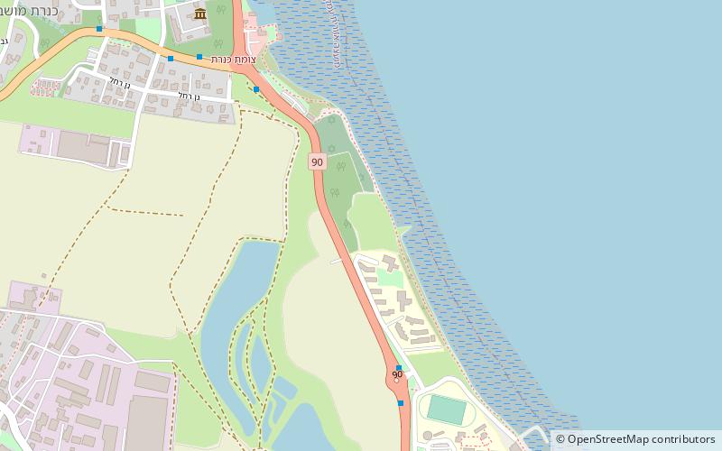
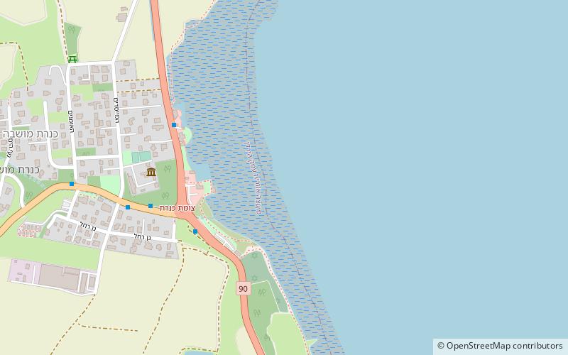
Al-Sinnabra or Sinn en-Nabra, is the Arabic place name for a historic site on the southern shore of the Sea of Galilee in modern-day Israel. The ancient site lay on a spur from the hills that close the southern end of the Sea of Galilee, next to which towards its south being the tell, Khirbet Kerak or Bet Yerah, one of the largest in the Levant, spanning an area of over 50 acres. Bet Yerah was the Hellenistic era twin city of Sennabris, as al-Sinnabra was known in Classical antiquity, and its remains are located at the same tell. ()
Coordinates: 32°43'5"N, 35°34'19"E
Location
HaZafon
ContactAdd
Social media
Add
Day trips
Al-Sinnabra – popular in the area (distance from the attraction)
Nearby attractions include: Yardenit, Khirbet Kerak, Degania Dam, Ohalo II.


