Mount Hureish

Map
Facts and practical information
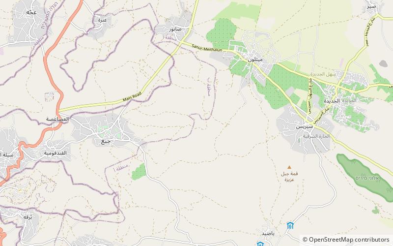
Mount Hureish is a mountain in the northern West Bank, part of the broader Jabal Nablus range. It abuts the Marj Sanur valley to the south and its peak is 764 meters above sea level, making it the tallest mountain in the Jenin area, and the sixth highest peak in the Palestine. Mount Hureish is a part of the Musheirif Range, which includes other mountains such as Mount Abu Yazid and Mount 'Ilan. ()
Elevation: 2507 ftCoordinates: 32°19'44"N, 35°15'12"E
Location
West Bank
ContactAdd
Social media
Add
Day trips
Mount Hureish – popular in the area (distance from the attraction)
Nearby attractions include: Nabi Yahya Mosque, Shemouniyeh, Wadi Sallah, Arab American University.


