Migdal Afek
#30 among destinations in Israel

Facts and practical information
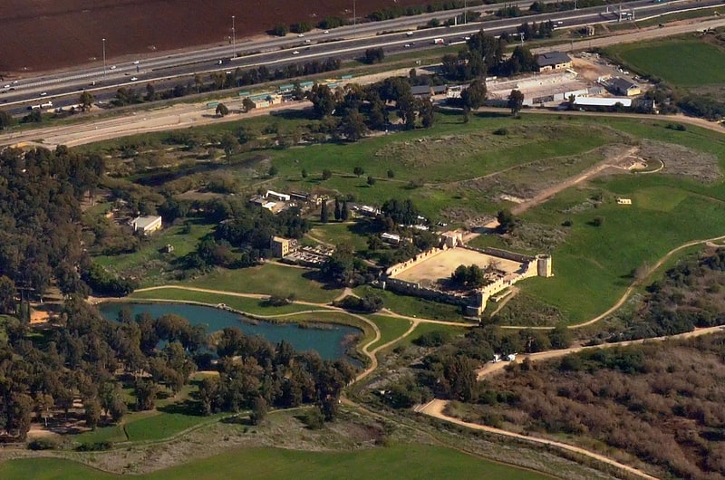
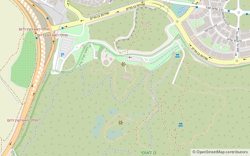
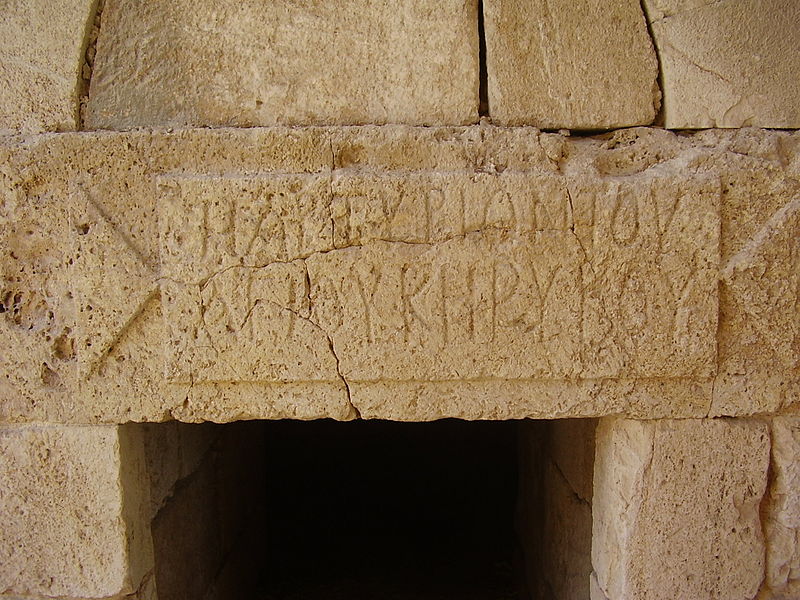
Migdal Afek, also Migdal Tsedek, is a national park on the southeastern edge of Rosh HaAyin, Israel. ()
HaMerkazIsrael
Migdal Afek plan & book
Unleash the traveler in you — discover the cheapest flight deals, find the perfect hotel or hostel nearby, and search for the best car rental prices. Travel at your own pace to discover new places and enjoy your journey.
Migdal Afek – popular in the area (distance from the attraction)
Nearby attractions include: Antipatris, Great Synagogue, Rosh HaAyin, Yehud.
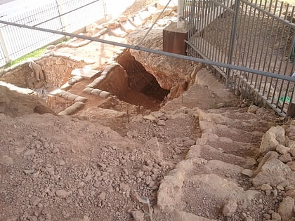
 Archaeological site and lookout point
Antipatris, Petah Tikva
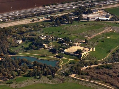
59 min walk • Antipatris was a city built during the first century BC by Herod the Great, who named it in honour of his father, Antipater. The site, now a national park in central Israel, was inhabited from the Chalcolithic Period to the late Roman Period.
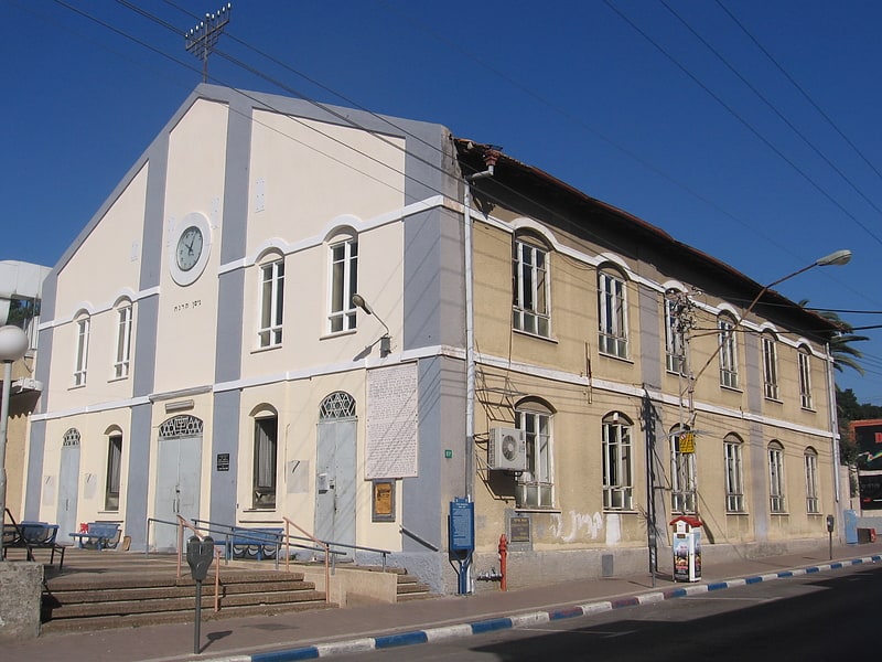
 Synagogue
Great Synagogue, Petah Tikva
109 min walk • The Great Synagogue of Petah Tikva, is the city's central synagogue and located on Hovevei Zion Street, in the centre of Petah Tikva, Israel.
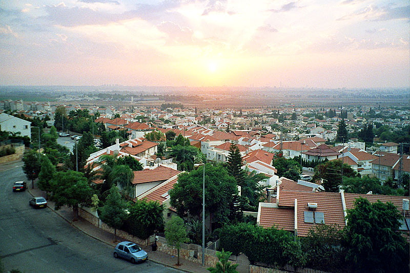
 Area
AreaRosh HaAyin, Petah Tikva
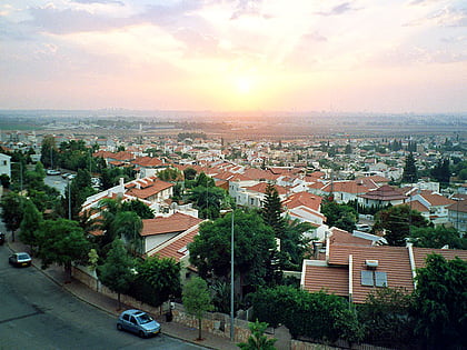
27 min walk • Rosh HaAyin is a city in the Central District of Israel. To the west of Rosh HaAyin is the fortress of Antipatris and the source of the Yarkon River. To the southeast is the fortress of Migdal Afek. In 2019, it had a population of 61,801.
 Area
AreaYehud, Petah Tikva
138 min walk • Yehud is a city in the Central District of Israel that is part of the joint municipality of Yehud-Monosson. In 2007, the city's population stood at approximately 30,000 people.
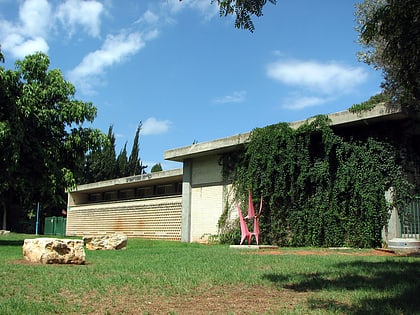 Art gallery, Specialty museum, Art museum
Petah Tikva Museum of Art, Petah Tikva
127 min walk • The Petah Tikva Museum of Art is an art museum in Arlozorov Street, Petah Tikva, Israel.
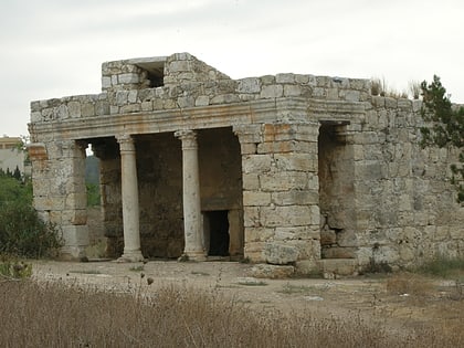 Archaeological site
Mazor Mausoleum
63 min walk • The Mazor Mausoleum is one of the best preserved Roman buildings in Israel, located in El'ad. The Mausoleum, which is the only Roman era building in Israel to still stand from its foundations to its roof, was built for an important Roman man and his wife in the 3rd century AD.
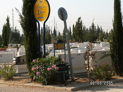 Cemetery
Yarkon Cemetery, Petah Tikva
143 min walk • Yarkon Cemetery is the main cemetery for the Tel Aviv Metropolitan Area of Israel. It is located within the Petah Tikva city limits, between the Yarkon River in the West, Highway 5 in the North, and the 491 road from East and South.
 Area
AreaHod HaSharon, Kfar Saba
158 min walk • Hod HaSharon is a city in the Central District of Israel. The city is located approximately 10 kilometres east of the Mediterranean coastline, south of Kfar Saba, southeast of Raanana, and northeast of Ramat HaSharon.
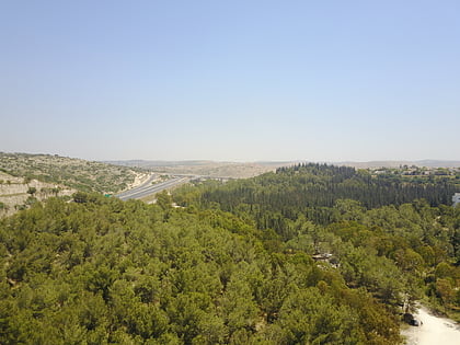 Forest
Rosh HaAyin Forest
46 min walk • Rosh HaAyin Forest is a forest and green area located in the northeastern part of Rosh HaAyin, Israel, along the tributary of Nahal Rabba.
 Prehistoric site
Qesem Cave
62 min walk • Qesem cave is a Lower Paleolithic archaeological site near the city of Kafr Qasim in Israel. Early humans were occupying the site by 400,000 until c. 200,000 years ago.