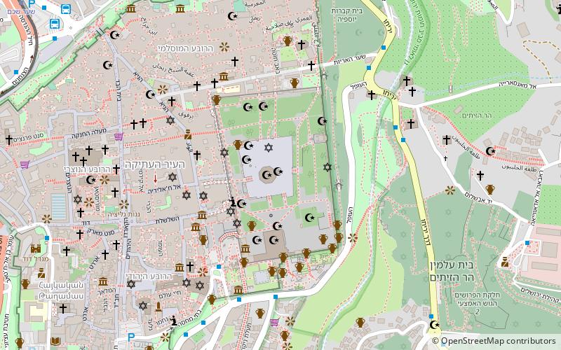
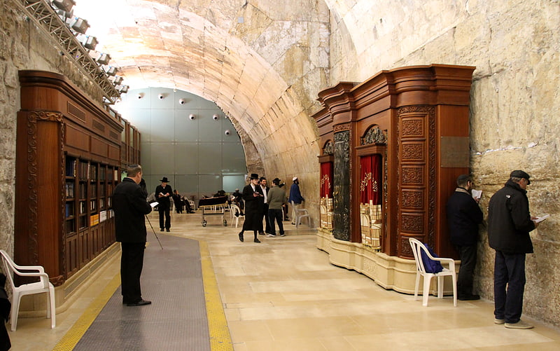
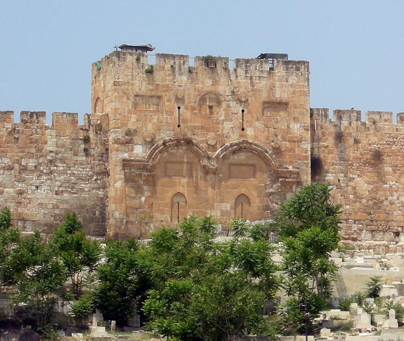
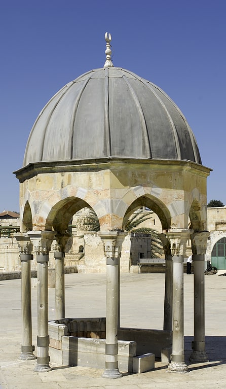
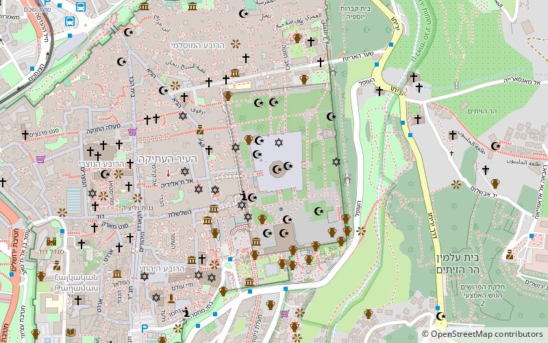
Moriah, Jerusalem
Facts and practical information
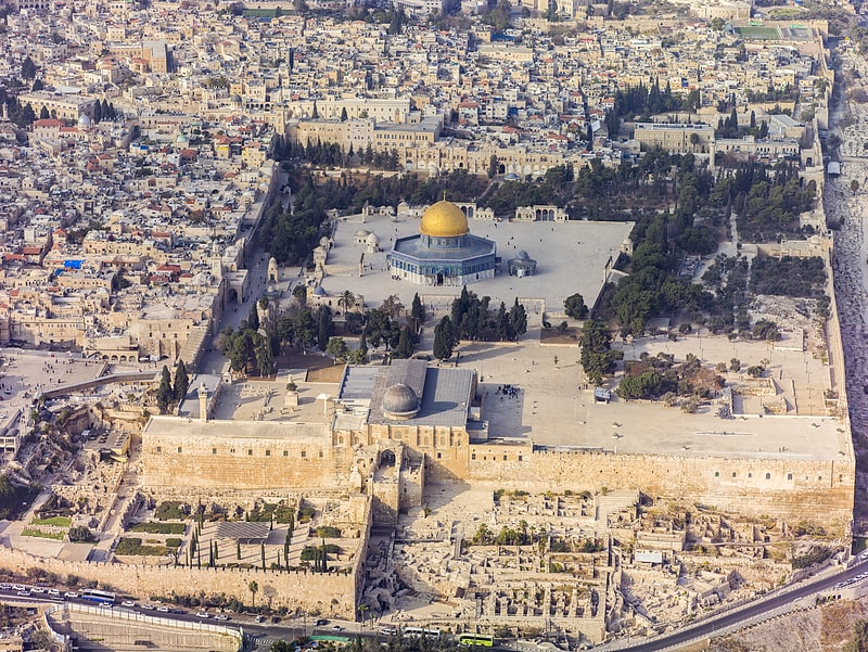
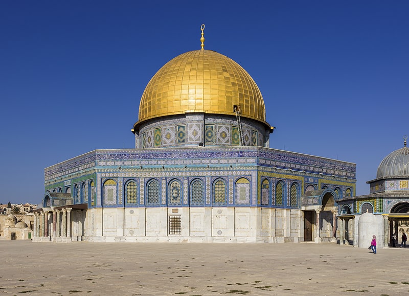
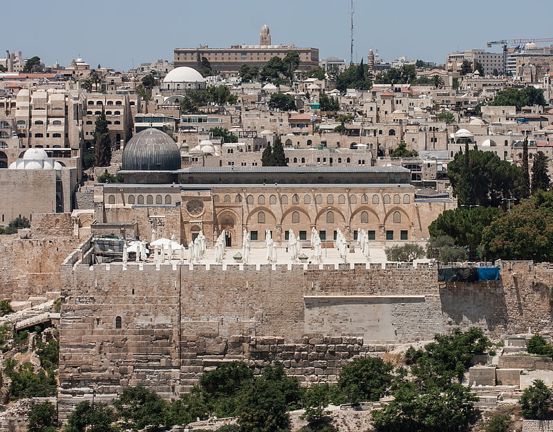
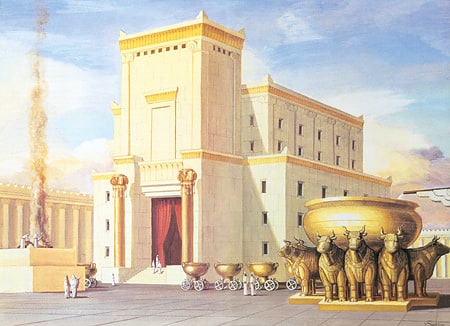
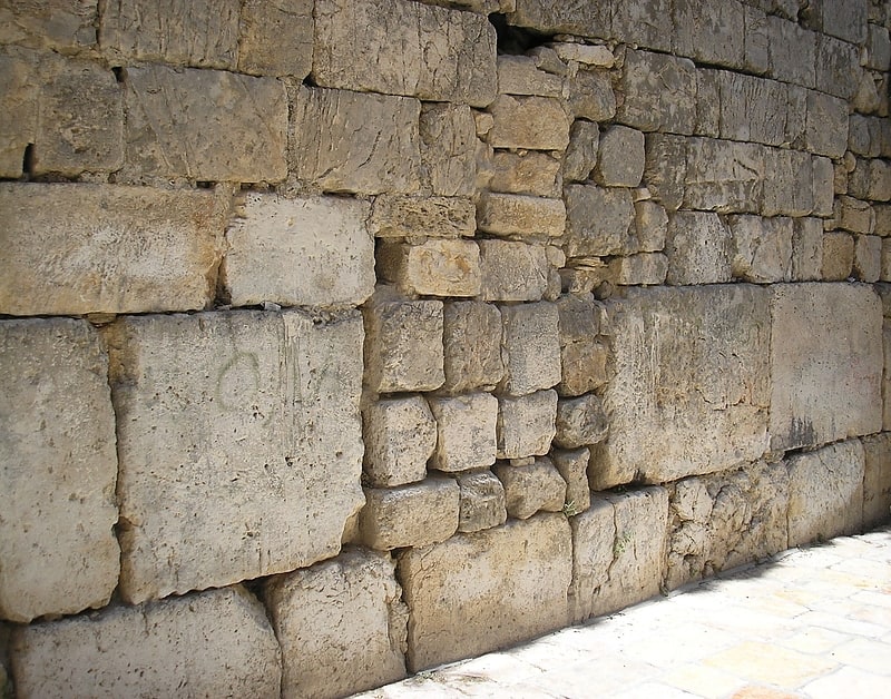
Moriah is the name given to a mountainous region in the Book of Genesis, where the binding of Isaac by Abraham is said to have taken place. Jews identify the region mentioned in Genesis and the specific mountain in which the near-sacrifice is said to have occurred with "Mount Moriah", mentioned in the Book of Chronicles as the place where Solomon's Temple is said to have been built, and both these locations are also identified with the current Temple Mount in Jerusalem. The Samaritan Torah, on the other hand, transliterates the place mentioned for the binding of Isaac as Moreh, near modern-day Nablus. It is believed by the Samaritans that the near-sacrifice actually took place on Mount Gerizim, near Nablus in the West Bank. ()
הַר הַבַּיִת (har habayit)Jerusalem
- Bus
 Bus
Bus
- Calculate routeTo go to jordan 12 min walk
- Calculate routeHaNevi'im Terminal 13 min walk
- Calculate routeHativat Yerushalayim/Yitshak Kariv 14 min walk


Frequently Asked Questions (FAQ)
Which popular attractions are close to Moriah?
How to get to Moriah by public transport?
Bus
- To go to jordan (12 min walk)
- HaNevi'im Terminal • Lines: 231 (13 min walk)