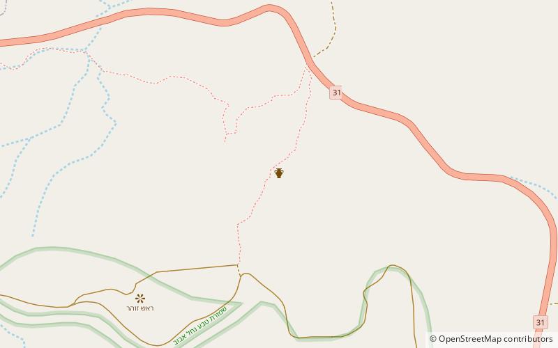
Upper Zohar

Map
Facts and practical information
Upper Zohar, also Rogem Zohar, is an archaeological site on the outskirts of the Israeli town of Arad. It is believed to be the site of a Byzantine-era fort and part of a Roman line of defense against desert raiders. More recent research has suggested it was constructed for economic rather than military reasons. ()
Built: VI centuryAbandoned: VII centuryCoordinates: 31°14'7"N, 35°14'32"E
Location
HaDarom
ContactAdd
Social media
Add
Day trips
Upper Zohar – popular in the area (distance from the attraction)
Nearby attractions include: Arad Museum.
