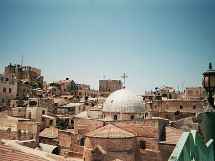
Israelite Tower, Jerusalem
Map
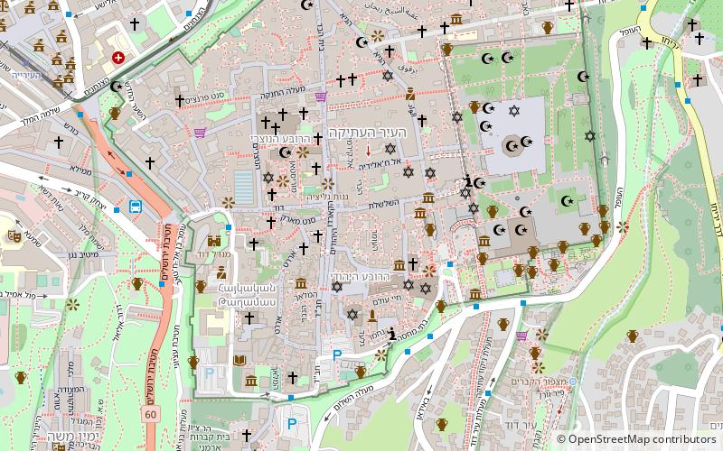
Map

Facts and practical information
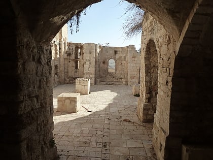
The Israelite Tower is an archaeological site in Jerusalem's Jewish Quarter. The site features remains of the city's Iron Age fortifications which were later incorporated into the Hasmonean city walls. It was excavated by Israeli archaeologist Nahman Avigad during the 1970s. Finds unearthed at the site attest to the Babylonian destruction of Jerusalem in 586 BCE. ()
Local name: המגדל הישראליBuilt: VII century B.C.Abandoned: 586 B.C.E.Coordinates: 31°46'35"N, 35°13'54"E
Address
הרובע היהודי (hrwb hyhwdy)Jerusalem
ContactAdd
Social media
Add
Day trips
Israelite Tower – popular in the area (distance from the attraction)
Nearby attractions include: Western Wall, Menorah, Hurva Synagogue, The Temple Institute.
Frequently Asked Questions (FAQ)
Which popular attractions are close to Israelite Tower?
Nearby attractions include Tzuf Dvash Synagogue, Jerusalem (1 min walk), Broad Wall, Jerusalem (1 min walk), Monastery of Saint Mark, Jerusalem (2 min walk), Burnt House, Jerusalem (2 min walk).
How to get to Israelite Tower by public transport?
The nearest stations to Israelite Tower:
Bus
Bus
- Hativat Yerushalayim/Yitshak Kariv • Lines: 231 (8 min walk)
- Jaffa Gate (9 min walk)


