Kikar HaShabbat, Jerusalem
Map
Gallery
Facts and practical information
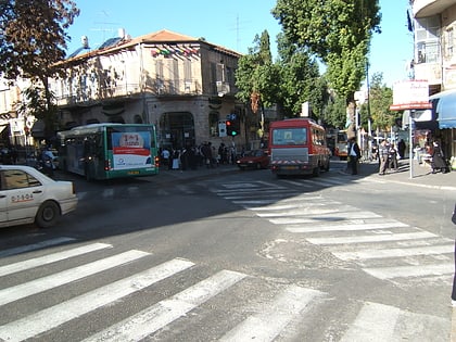
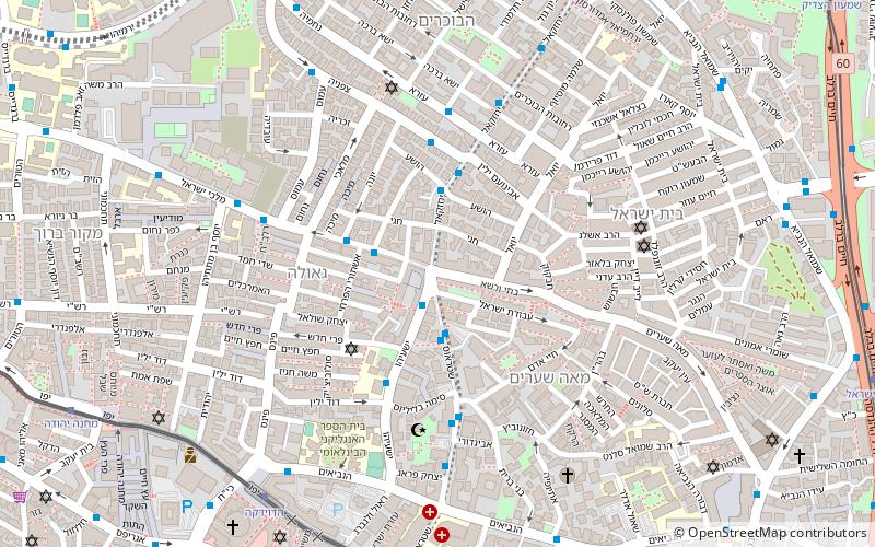
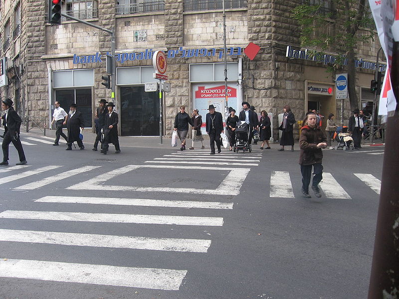
Kikar HaShabbat, known in the Haredi community as Kikar HaShabbos, is a major intersection joining five streets in Jerusalem, Israel, between Mea Shearim and Geula: Yehezkel Street from the north, Malkhei Yisrael Street from the west, Mea Shearim Street from the east, Straus Street from the southeast, and Yisha'ayahu Street from the southwest. ()
Address
מאה שערים (mh srym)Jerusalem
ContactAdd
Social media
Add
Day trips
Kikar HaShabbat – popular in the area (distance from the attraction)
Nearby attractions include: Ben Yehuda Street, Mahane Yehuda Market, Clal Center, Russian Compound.
Frequently Asked Questions (FAQ)
Which popular attractions are close to Kikar HaShabbat?
Nearby attractions include Malkhei Yisrael Street, Jerusalem (3 min walk), Batei Warsaw, Jerusalem (3 min walk), Zikhron Moshe, Jerusalem (4 min walk), Kerem Avraham, Jerusalem (4 min walk).
How to get to Kikar HaShabbat by public transport?
The nearest stations to Kikar HaShabbat:
Bus
Train
Bus
- Damascus gate bus station (18 min walk)
- Green Palestinian Bus Station (18 min walk)
Train
- Jerusalem - Yitzhak Navon (24 min walk)
