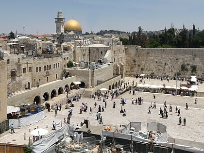
Yeshivat Aderet Eliyahu, Jerusalem
Map
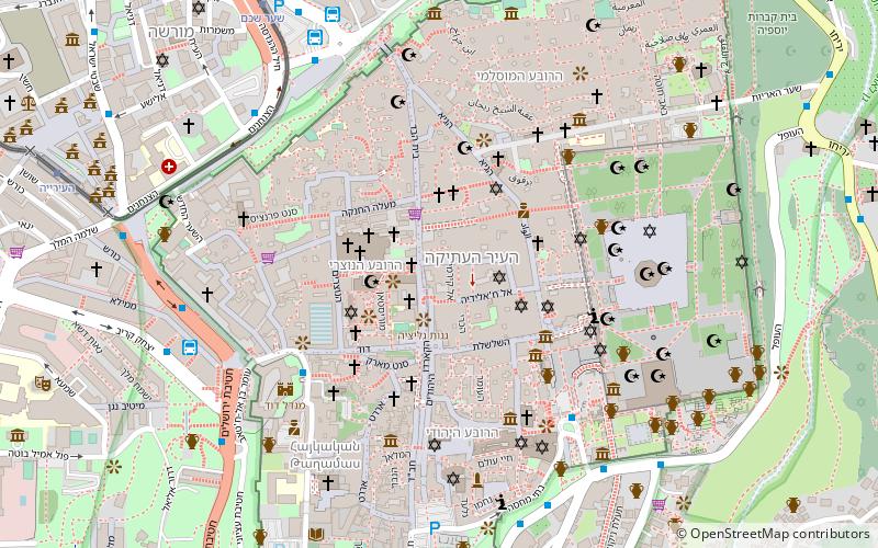
Map

Facts and practical information
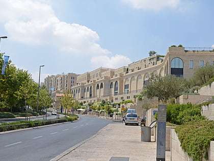
Yeshivat Aderet Eliyahu, commonly referred to as "Zilberman's," is a Haredi, Lithuanian educational facility located between the Jewish and Muslim quarters of the Old City of Jerusalem. ()
Local name: ישיבת אדרת אליהוCoordinates: 31°46'41"N, 35°13'53"E
Address
הרובע המוסלמי (hrwb hmwslmy)Jerusalem
ContactAdd
Social media
Add
Day trips
Yeshivat Aderet Eliyahu – popular in the area (distance from the attraction)
Nearby attractions include: Western Wall, Church of the Holy Sepulchre, Calvary, Mamilla Mall.
Frequently Asked Questions (FAQ)
Which popular attractions are close to Yeshivat Aderet Eliyahu?
Nearby attractions include Archäologischer Park „Durch die Zeiten“, Jerusalem (2 min walk), Church of the Redeemer, Jerusalem (2 min walk), Old City, Jerusalem (2 min walk), Antonia Fortress, Jerusalem (2 min walk).
How to get to Yeshivat Aderet Eliyahu by public transport?
The nearest stations to Yeshivat Aderet Eliyahu:
Bus
Bus
- Yaffo Gate/Yafo • Lines: 231 (8 min walk)
- Jaffa Gate (8 min walk)


