Helam
#245 among destinations in Israel
Facts and practical information
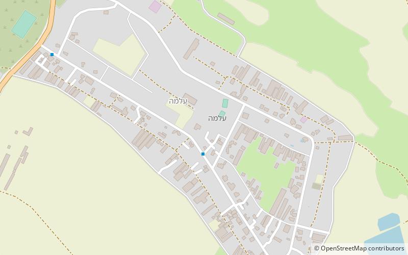
Helam is a Hebrew Bible place name. According to 2 Samuel 10:15-18, Helam was the site of King David's victory over the Syrians under Hadarezer. It may be associated with modern Alma, Israel, about 55 km east of the Sea of Galilee. ()
HaZafonIsrael
Helam – popular in the area (distance from the attraction)
Nearby attractions include: Tel Hazor, Mount Meron, Jish, Birya Fortress.

4.6 miSE Archeological site of an ancient cityTel Hazor, Kursi, Sea of Galilee
117 min walk • Tel Hazor, also Chatsôr, translated in LXX as Hasōr, identified at Tell Waqqas / Tell Qedah el-Gul, is an archaeological tell at the site of ancient Hazor, located in Israel, Upper Galilee, north of the Sea of Galilee, in the northern Korazim Plateau.
 Nature, Natural attraction, Lookout
Mount Meron, Upper Galilee
159 min walk • Mount Meron is a mountain in the Upper Galilee region of Israel. It has special significance in Jewish religious tradition and parts of it have been declared a nature reserve.
 City, Archaeological site
Jish, Upper Galilee
95 min walk • Jish is a local council in Upper Galilee, located on the northeastern slopes of Mount Meron, 13 kilometres north of Safed, in Israel's Northern District. In 2019 it had a population of 3,105, which is predominantly Maronite Catholic and Melkite Greek Catholic Christians, with a Sunni Muslim Arab minority.
 Museum, History museum
Birya Fortress
108 min walk • Birya Fortress is a fortress built during the British Mandate near Birya. In 1946 the Birya affair took place here. Today the fortress operates as a museum.
 Synagogue
Bar'am National Park
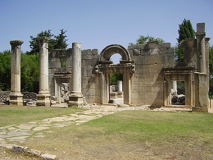
128 min walk • Bar'am National Park is a national park in Israel, between kibbutz Sasa and moshav Dovev, near the Lebanese border. On the grounds of the park is a synagogue from the Talmudic period.
 Archaeological site
Kafr Bir'im
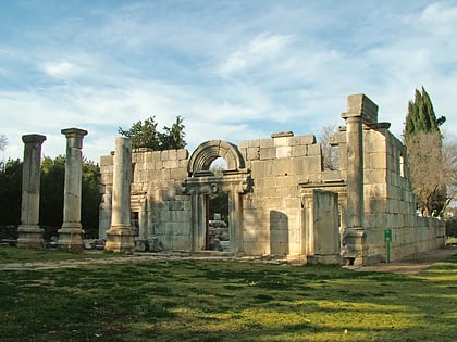
124 min walk • Kafr Bir'im, also Kefr Berem, was a former village in Mandatory Palestine, located in modern-day northern Israel, 4 kilometers south of the Lebanese border and 11.5 kilometers northwest of Safed. The village was situated 750 meters above sea level.
 Prehistoric site
Ain Mallaha
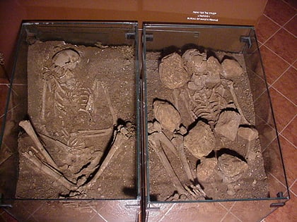
139 min walk • ʿAin Mallaha, also known as Eynan, was an Epipalaeolithic settlement belonging to the Natufian culture, built and settled circa 10,000–8,000 BCE. The settlement is an example of hunter-gatherer sedentism, a crucial step in the transition from foraging to farming.
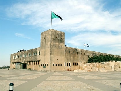 Forts and castles
Tegart fort
140 min walk • A Tegart fort is a type of militarized police fort constructed throughout Palestine during the British Mandatory period, initiated as a measure against the 1936–1939 Arab Revolt.
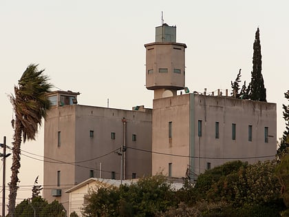 Forts and castles
Metzudat Koach
140 min walk • The Nabi Yusha fort, renamed Metzudat Koach, is a police fort built by the British Mandate administration during the 1936–39 Arab revolt in Palestine and currently used by the Israel Border Police.
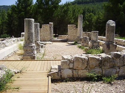 Archaeological site
Nabratein synagogue
108 min walk • The Nabratein synagogue is an ancient synagogue and archaeological site in the upper Galilee region of the Northern District of Israel, located in a pine forest northeast of Safed.
 Town
TownHatzor HaGlilit
149 min walk • Hatzor HaGlilit is a town in the Korazim Plateau in northern Israel near Rosh Pinna and Safed. It is named for the nearby biblical site of Tel Hazor. In 2019 it had a population of 9,272.