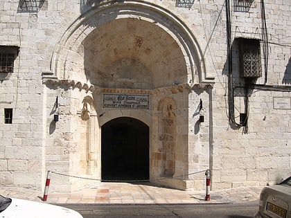
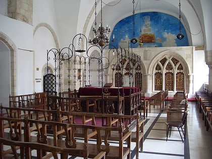
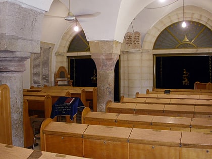
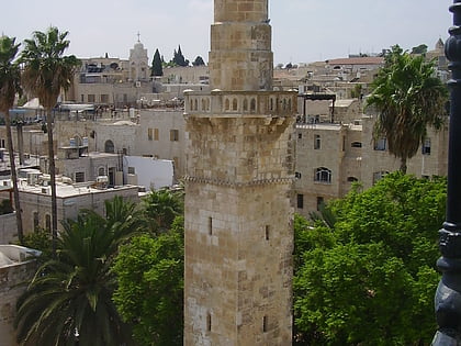
Church of the Holy Archangels, Jerusalem
Map
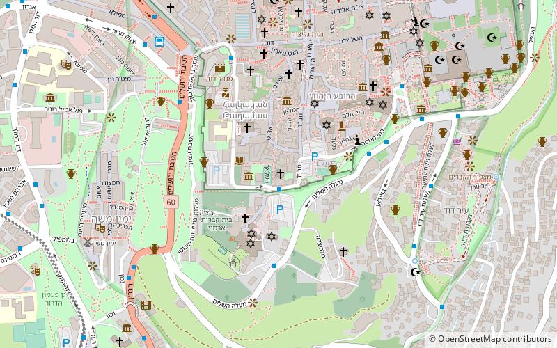
Map

Facts and practical information
Church of the Holy Archangels also known as Deir Al-Zeitoun, is an Armenian church in the Armenian Quarter of the Old City of Jerusalem. ()
Coordinates: 31°46'24"N, 35°13'48"E
Address
הרובע הארמני (hrwb hrmny)Jerusalem
ContactAdd
Social media
Add
Day trips
Church of the Holy Archangels – popular in the area (distance from the attraction)
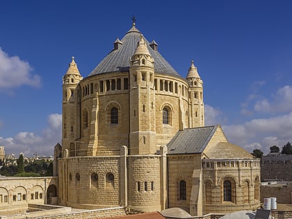
Nearby attractions include: Mount Zion Cemetery, Hurva Synagogue, Cenacle, Siebenberg House.
Frequently Asked Questions (FAQ)
Which popular attractions are close to Church of the Holy Archangels?
Nearby attractions include Al Dissi Mosque, Jerusalem (1 min walk), Zion Gate, Jerusalem (2 min walk), Jerusalem Walls National Park, Jerusalem (2 min walk), Mardigian Armenian Museum, Jerusalem (2 min walk).
How to get to Church of the Holy Archangels by public transport?
The nearest stations to Church of the Holy Archangels:
Bus
Bus
- Hativat Yerushalayim/Yitshak Kariv • Lines: 231 (6 min walk)
- The Cinematheque/Hevron Road • Lines: 231 (9 min walk)


