St. Cleophas Church, Jerusalem
#193 among attractions in Jerusalem

Facts and practical information
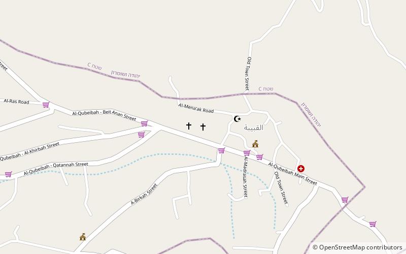
The St. Cleophas Church or St. Cleopas Church also called Emmaus Church or the Basilica of St. Cleophas, is a Catholic church located in the village of El Qubeibeh in the occupied West Bank, Palestine. ()
Jerusalem Israel
St. Cleophas Church – popular in the area (distance from the attraction)
Nearby attractions include: Ramot Mall, Al-Qastal, Tzova, Nabi Samwil.
 Shopping, Shopping centre
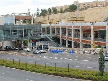
Ramot Mall, Jerusalem
98 min walk • Nestled in the northern district of Jerusalem, Ramot Mall stands as a modern shopping oasis catering to the diverse needs of the city's residents and tourists alike. This retail center is a key destination for those seeking a variety of shopping and dining options in...
 Forts and castles
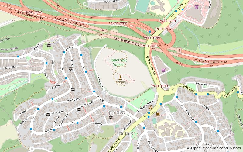
Al-Qastal, Jerusalem
80 min walk • Al-Qastal was a Palestinian village located eight kilometers west of Jerusalem and named for a Crusader castle located on the hilltop.
 Forts and castles
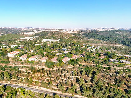
Tzova, Jerusalem
101 min walk • Tzova, also Palmach Tzova or Tzuba is a kibbutz in central Israel. Located in the Judean Hills, on the western outskirts of Jerusalem, it falls under the jurisdiction of Mateh Yehuda Regional Council. In 2019 it had a population of 625.
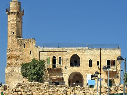 Temple, Synagogue
Nabi Samwil, Jerusalem
70 min walk • The Tomb of Samuel, commonly known as Nebi Samuel or Nebi Samwil, is the traditional burial site of the biblical Jewish and Islamic prophet Samuel, atop a steep hill at an elevation of 908 meters above sea level.
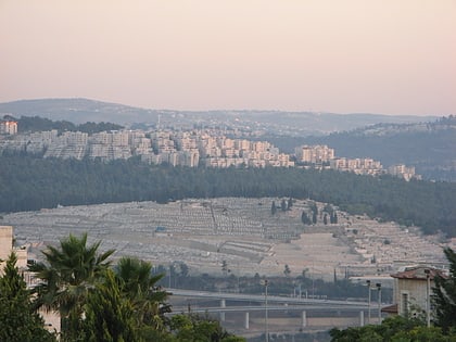 Cemetery
Har HaMenuchot, Jerusalem
100 min walk • Har HaMenuchot is the largest cemetery in Jerusalem. The hilltop burial ground lies at the western edge of the city adjacent to the neighborhood of Givat Shaul, with commanding views of Mevaseret Zion to the north, Motza to the west, and Har Nof to the south.
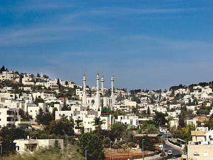 Area
AreaAbu Ghosh, Jerusalem
72 min walk • Abu Ghosh is an Arab-Israeli local council in Israel, located 10 kilometers west of Jerusalem on the Tel Aviv–Jerusalem highway. It is situated 610–720 meters above sea level. It takes its current name from the dominant clan inhabiting the town, while the older Arabic name used to be Qaryat al-'Inab.
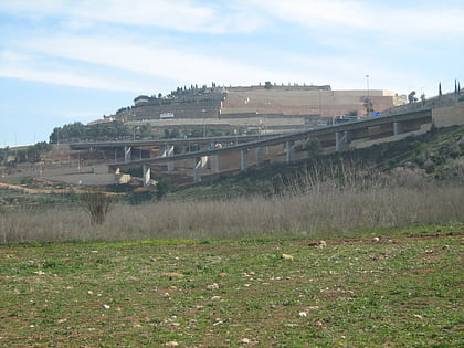 Valley
Emeq HaArazim, Jerusalem
87 min walk • Emeq HaArazim is a valley in the Judean Mountains of Israel. It is located on the northwestern edge of Jerusalem in the Judean Mountains, at an altitude of over 550 meters. It takes the form of a small depression, which is crossed by the Wadi Sorek, into which Nahal Luz flows from the north and Nahal Halilim from the west.
 Forts and castles
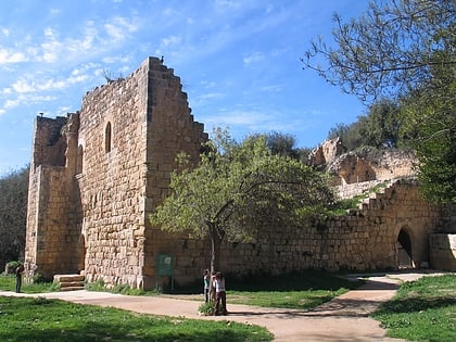
Ein Hemed, Jerusalem
79 min walk • Ein Hemed is a national park and nature reserve in the hills seven kilometres west of modern Jerusalem and some 12 kilometres west of the Old City.
 Neighbourhood
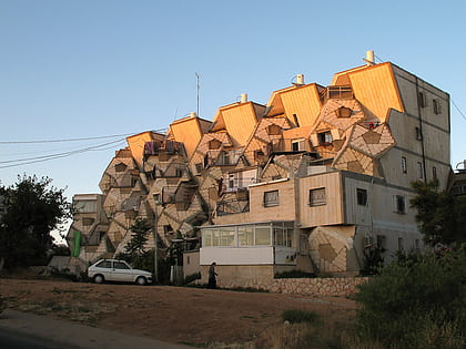
Ramot Polin, Jerusalem
102 min walk • Ramot Polin is part of the larger neighborhood of Ramot, an Israeli settlement in northwest East Jerusalem. It was constructed by the Kollel Polen in stages beginning in 1972, under the auspices of the Office for Building and Habitation, and is populated, as intended, mostly by Haredi Jewish families, including Breslov.
 Temple
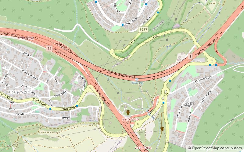
Tel Motza temple, Jerusalem
92 min walk • Tel Motza or Tel Moẓa is an archaeological site in Motza, on the outskirts of Jerusalem. It includes the remains of a large Neolithic settlement dated to around 8600–8200 BCE, and Iron Age Israelite settlement dating to around 1000 to 500 BCE and identified with the biblical Mozah mentioned in the Book of Joshua.
 Church
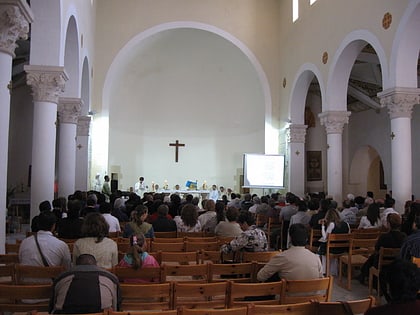
Our Lady of the Ark of the Covenant Church, Jerusalem
76 min walk • The Our Lady of the Ark of the Covenant Church is a religious building belonging to the Catholic Church and is located on the northwestern edge of the town of Abu Ghosh in the central Israel. The church is at an altitude of 756 meters above sea level.
