Sheikh Badr Cemetery, Jerusalem
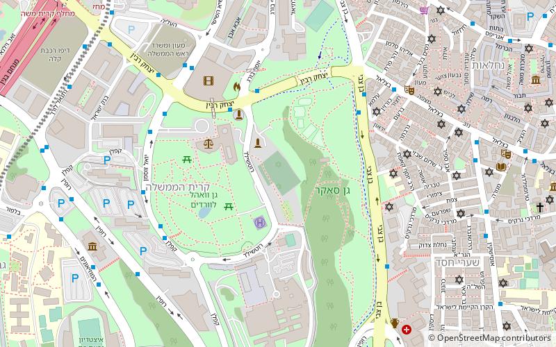
Map
Gallery
Facts and practical information
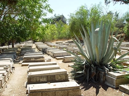
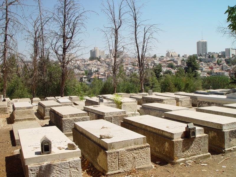
Sheikh Badr Cemetery is an 8 dunams Jewish burial ground in west-central West Jerusalem. It was established as a temporary burial ground during the 1948 Arab siege of Jerusalem. Most of its military and civilian graves were transferred to Mount Herzl and Har HaMenuchot, respectively, in late 1950. The cemetery continued to accept burials up until the official opening of Har HaMenuchot in November 1951. ()
Local name: בית העלמין שייח' באדרEstablished: 31 May 1948 (77 years ago)Coordinates: 31°46'49"N, 35°12'21"E
Address
גִּבְעַת רָם (gibeat ram)Jerusalem
ContactAdd
Social media
Add
Day trips
Sheikh Badr Cemetery – popular in the area (distance from the attraction)
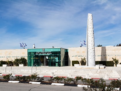
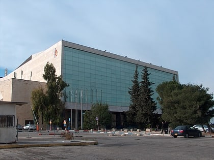
Nearby attractions include: Knesset Menorah, Bible Lands Museum, International Convention Center, Wohl Rose Park.
Frequently Asked Questions (FAQ)
Which popular attractions are close to Sheikh Badr Cemetery?
Nearby attractions include Jerusalem Bird Observatory, Jerusalem (2 min walk), Sacher Park, Jerusalem (3 min walk), Wohl Rose Park, Jerusalem (4 min walk), Knesset Menorah, Jerusalem (4 min walk).
How to get to Sheikh Badr Cemetery by public transport?
The nearest stations to Sheikh Badr Cemetery:
Train
Bus
Train
- Jerusalem - Yitzhak Navon (15 min walk)
Bus
- Jerusalem Central Bus Station (17 min walk)
- The Cinematheque/Hevron Road • Lines: 231 (34 min walk)
