Hillel Street, Jerusalem
Map
Map

Facts and practical information
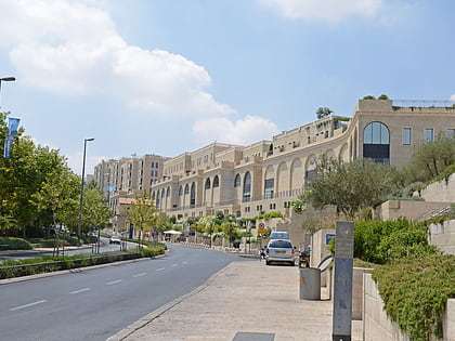
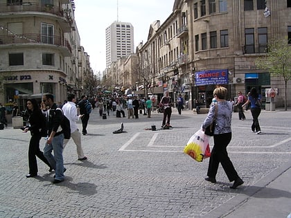
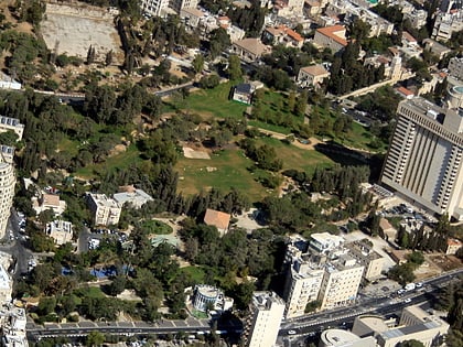
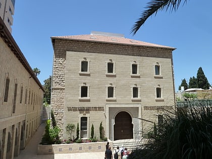
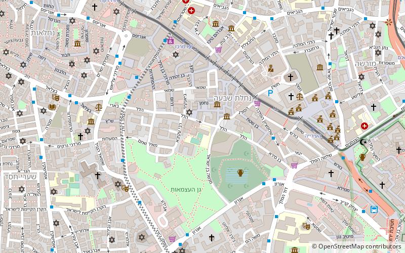
Hillel Street is one of the central streets of Jerusalem. It connects King George Street to the small Ben Sira Street and the Mamilla neighbourhood and is parallel to Ben Yehuda Street. The lower part of the road is between Independence Park and the Nahalat Shiva neighborhood. ()
Address
מרכז העיר המערבית (mrkz hyr hmrbyt)Jerusalem
ContactAdd
Social media
Add
Day trips
Hillel Street – popular in the area (distance from the attraction)
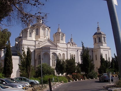
Nearby attractions include: Ben Yehuda Street, Mamilla Mall, Russian Compound, Holy Trinity Cathedral.
Frequently Asked Questions (FAQ)
Which popular attractions are close to Hillel Street?
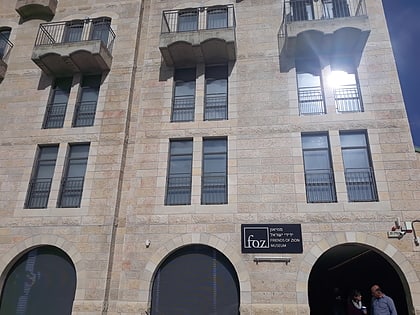
Nearby attractions include Italian Synagogue, Jerusalem (2 min walk), Museum of Tolerance Jerusalem, Jerusalem (2 min walk), Friends of Zion Museum, Jerusalem (2 min walk), Hebrew Music Museum, Jerusalem (2 min walk).
How to get to Hillel Street by public transport?
The nearest stations to Hillel Street:
Bus
Train
Bus
- Yaffo Gate/Yafo • Lines: 231 (12 min walk)
- Jaffa Gate (13 min walk)
Train
- Jerusalem - Yitzhak Navon (29 min walk)


