Nablus Road, Jerusalem
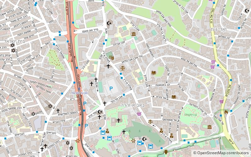
Map
Facts and practical information
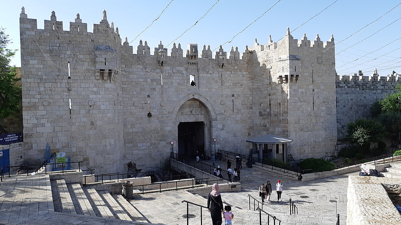
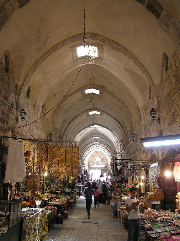
Nablus Road is one of the traditional routes radiating from Jerusalem's walled city. Starting at the Damascus Gate, it is the ancient road north. ()
Coordinates: 31°47'14"N, 35°13'49"E
Address
אמריקן קולוני (mryqn qwlwny)Jerusalem
ContactAdd
Social media
Add
Getting there by public transportation
Public transportation stops near this location
- Bus
 Bus
Bus
- Calculate routeDamascus gate bus station 6 min walk
- Calculate routeGreen Palestinian Bus Station 7 min walk
- Calculate routeTo go to jordan 8 min walk
- Calculate routeHaNevi'im Terminal 10 min walk
Day trips


Frequently Asked Questions (FAQ)
Which popular attractions are close to Nablus Road?
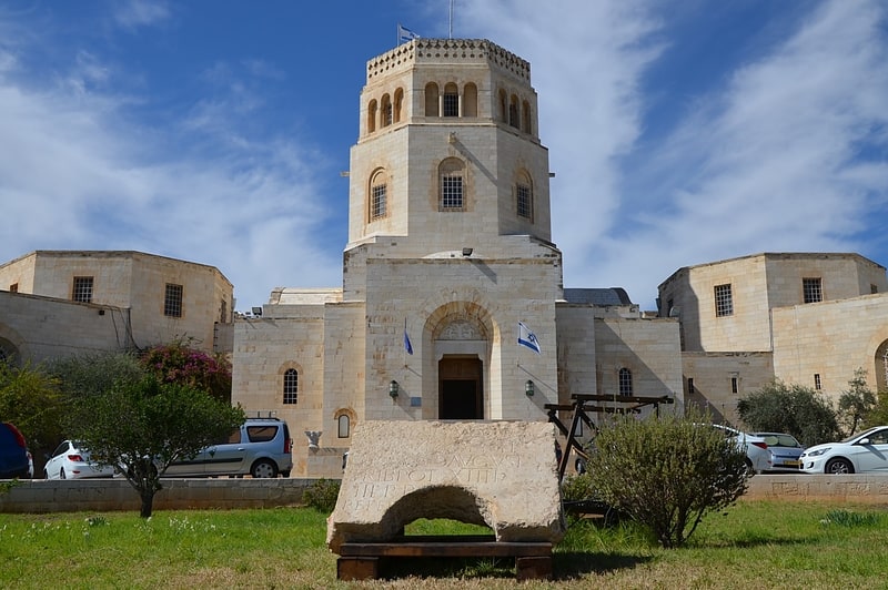
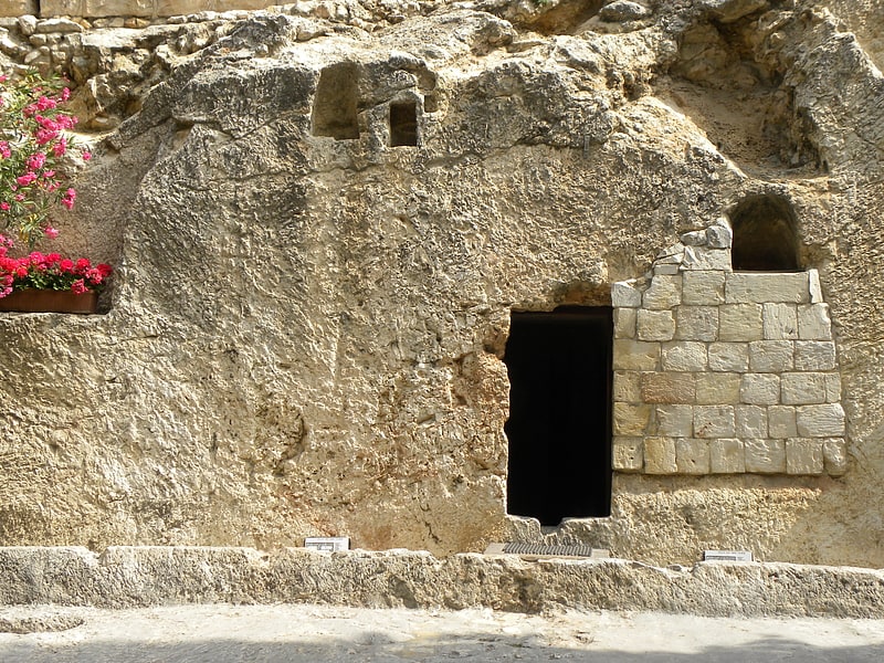
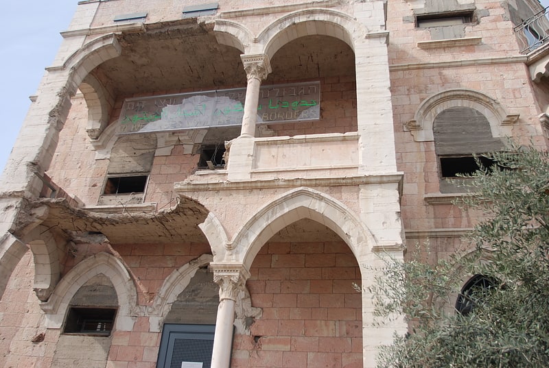
Nearby attractions include St. George's Cathedral, Jerusalem (3 min walk), Palestinian National Theatre, Jerusalem (3 min walk), Bab a-Zahara, Jerusalem (3 min walk), Tombs of the Kings, Jerusalem (3 min walk).
How to get to Nablus Road by public transport?
The nearest stations to Nablus Road:
Bus
Bus
- Damascus gate bus station (6 min walk)
- Green Palestinian Bus Station (7 min walk)