Kanfei Nesharim Street, Jerusalem
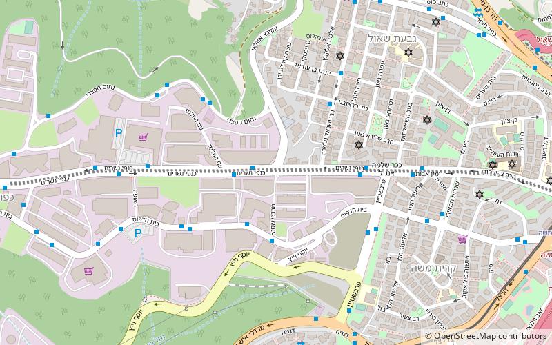
Map
Gallery
Facts and practical information
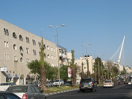
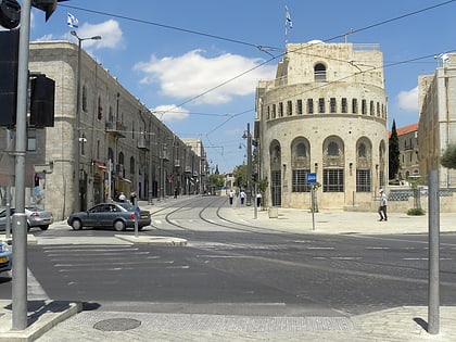
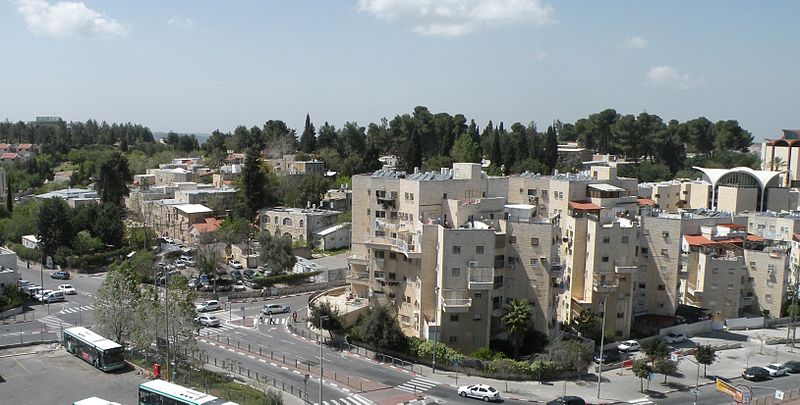
Kanfei Nesharim Street is a major east–west thoroughfare in the Givat Shaul neighborhood of western Jerusalem. Unlike most Jerusalem streets, Kanfei Nesharim is a wide thoroughfare with two traffic lanes in each direction, separated by a median, and spans 3 kilometres in a straight line. It connects the neighborhood of Kiryat Moshe on the east to Har Nof on the west, and includes the modern commercial strip of office buildings, stores and restaurants in what is termed Givat Shaul Bet. ()
Coordinates: 31°47'15"N, 35°11'22"E
Address
Jerusalem
ContactAdd
Social media
Add
Day trips
Kanfei Nesharim Street – popular in the area (distance from the attraction)
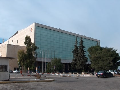
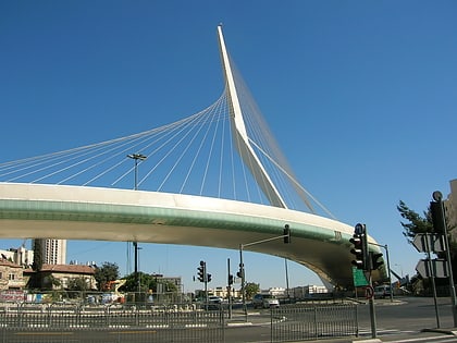
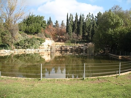
Nearby attractions include: International Convention Center, Chords Bridge, Wohl Rose Park, Har HaMenuchot.
Frequently Asked Questions (FAQ)
Which popular attractions are close to Kanfei Nesharim Street?
Nearby attractions include Givat Shaul, Jerusalem (9 min walk), Kiryat Moshe, Jerusalem (9 min walk), Pressburg Yeshiva, Jerusalem (11 min walk), Yashlatz, Jerusalem (11 min walk).
How to get to Kanfei Nesharim Street by public transport?
The nearest stations to Kanfei Nesharim Street:
Train
Bus
Train
- Jerusalem - Yitzhak Navon (20 min walk)
Bus
- Jerusalem Central Bus Station (21 min walk)
