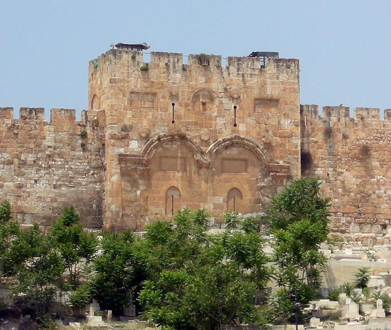
Bab Al-Asbat Minaret, Jerusalem
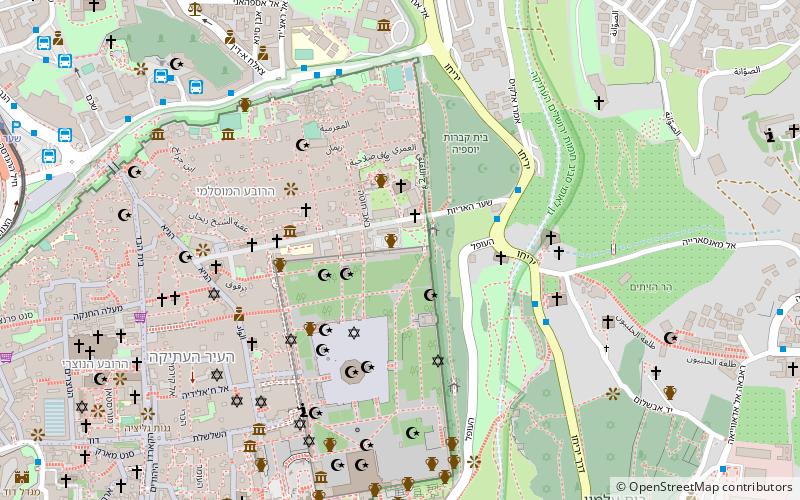
Map
Facts and practical information
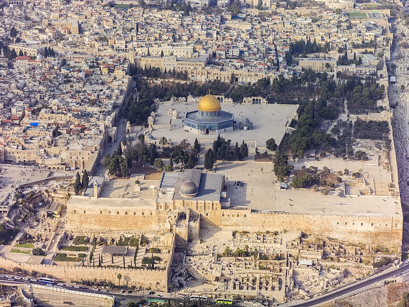
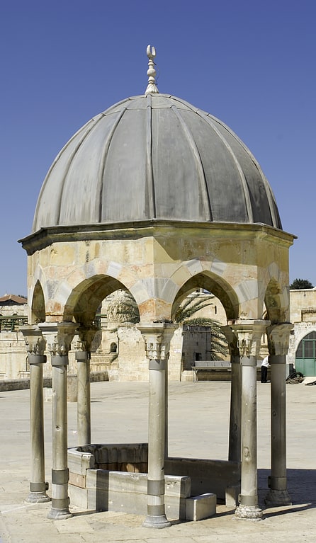
Bab Al-Asbat Minaret, Minaret of the Tribes also known as the, is a minaret in Jerusalem. It is one of the four minarets of the Haram al Sharif, and is situated along the north wall. ()
Address
הַר הַבַּיִת (har habayit)Jerusalem
ContactAdd
Social media
Add
Getting there by public transportation
Public transportation stops near this location
- Bus
 Bus
Bus
- Calculate routeTo go to jordan 10 min walk
- Calculate routeHaNevi'im Terminal 12 min walk
- Calculate routeGreen Palestinian Bus Station 13 min walk
Day trips


Frequently Asked Questions (FAQ)
Which popular attractions are close to Bab Al-Asbat Minaret?
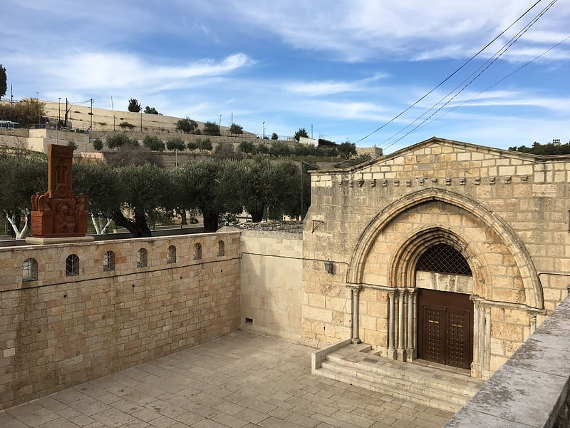
Nearby attractions include Birket Israel, Jerusalem (1 min walk), Lions' Gate, Jerusalem (2 min walk), Church of Saint Anne, Jerusalem (3 min walk), Pool of Bethesda, Jerusalem (3 min walk).
How to get to Bab Al-Asbat Minaret by public transport?
The nearest stations to Bab Al-Asbat Minaret:
Bus
Bus
- To go to jordan (10 min walk)
- HaNevi'im Terminal • Lines: 231 (12 min walk)