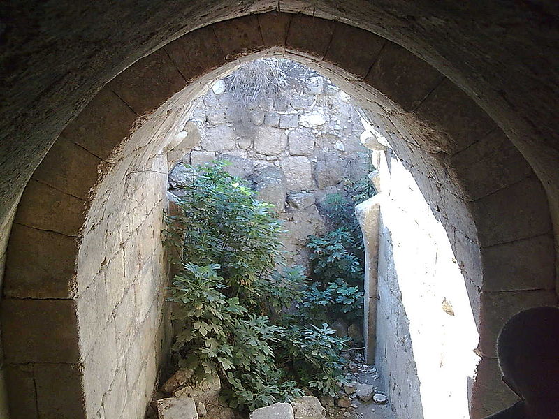
Tel Hanaton
Map
![Tel Hanaton location map](https://tzmedia.b-cdn.net/media/images/static-maps/il/32_7863_35_2562.jpg)
Gallery
![Tel Hanaton](https://tzmedia.b-cdn.net/media/images/il/place/gallery/medium/05ea922d239137b3fafdf9b7cece3fb4.jpg)
Facts and practical information
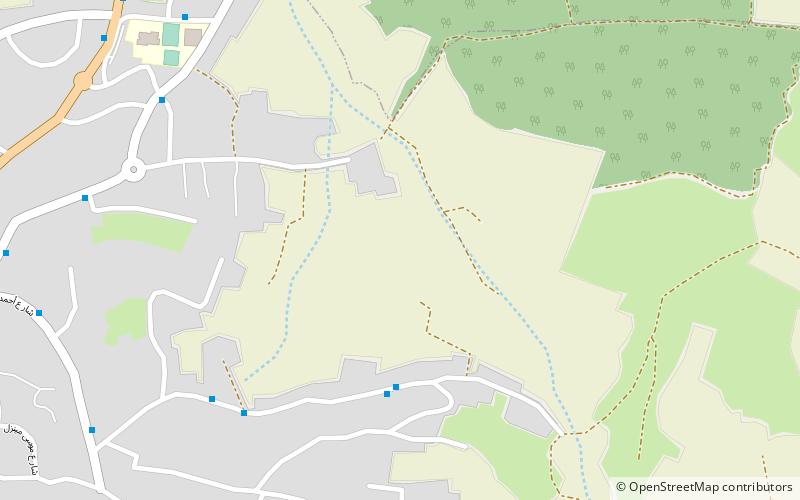
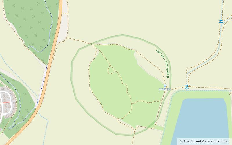
Tel Hanaton is an archaeological tell situated at the western edge of the Beit Netofa Valley, in the western Lower Galilee region of Israel, 2 km south of the Town of Kfar Manda and 1 km northeast of the kibbutz which took its name, Hanaton. ()
Location
HaZafon
ContactAdd
Social media
Add
Day trips
Tel Hanaton – popular in the area (distance from the attraction)
Nearby attractions include: Jesus Trail, Greek Orthodox Church of the Annunciation, Mary's Well, St. Bartholomew the Apostle Church.