Ein Rogel, Jerusalem

Map
Facts and practical information
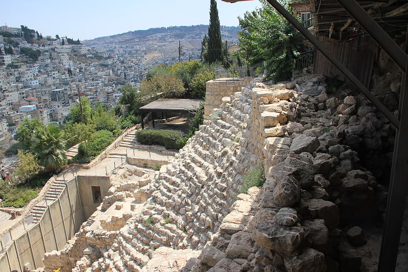
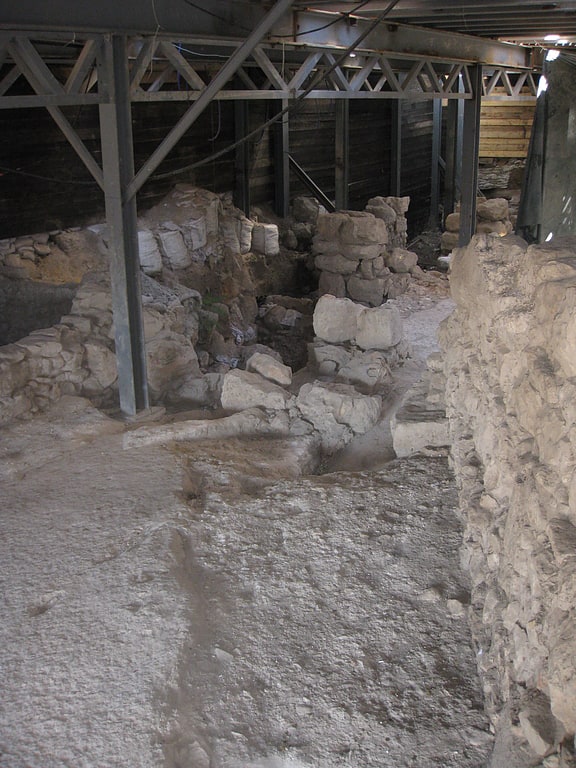
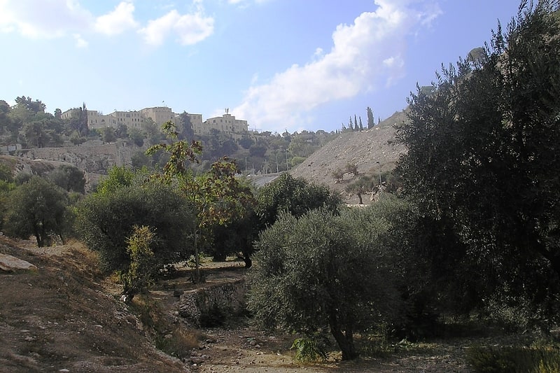
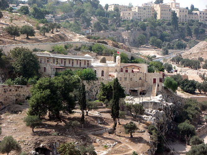
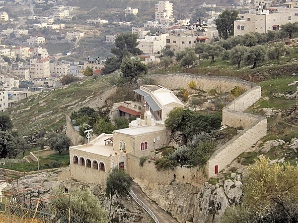
Ein Rogel, also known as Well of Job, was a spring on the outskirts of Jerusalem mentioned in the Hebrew Bible as the hiding-place of David's spies, Jonathan and Ahimaaz, during Absalom's uprising against the rule of King David. It may also have been a sacred place in pre-Israelite times. ()
Address
כפר השילוח (kpr hsylwh)Jerusalem
ContactAdd
Social media
Add
Getting there by public transportation
Public transportation stops near this location
- Bus
 Bus
Bus
- Calculate routeHama'abada/Hevron Road 17 min walk
- Calculate routeThe Cinematheque/Hevron Road 17 min walk
- Calculate routeHevron Road/Nomi 19 min walk
- Calculate routeHativat Yerushalayim/Yitshak Kariv 20 min walk
Day trips


Frequently Asked Questions (FAQ)
Which popular attractions are close to Ein Rogel?
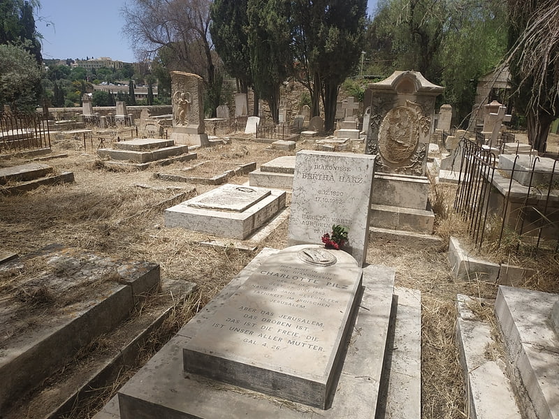
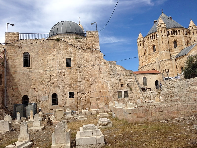
Nearby attractions include Old Yemenite Synagogue, Jerusalem (3 min walk), St. Onuphrius Monastery, Jerusalem (5 min walk), Akeldama, Jerusalem (5 min walk), Silwan, Jerusalem (6 min walk).
How to get to Ein Rogel by public transport?
The nearest stations to Ein Rogel:
Bus
Bus
- Hama'abada/Hevron Road • Lines: 231 (17 min walk)
- The Cinematheque/Hevron Road • Lines: 231 (17 min walk)