Petah Tikva Subdistrict, Petah Tikva

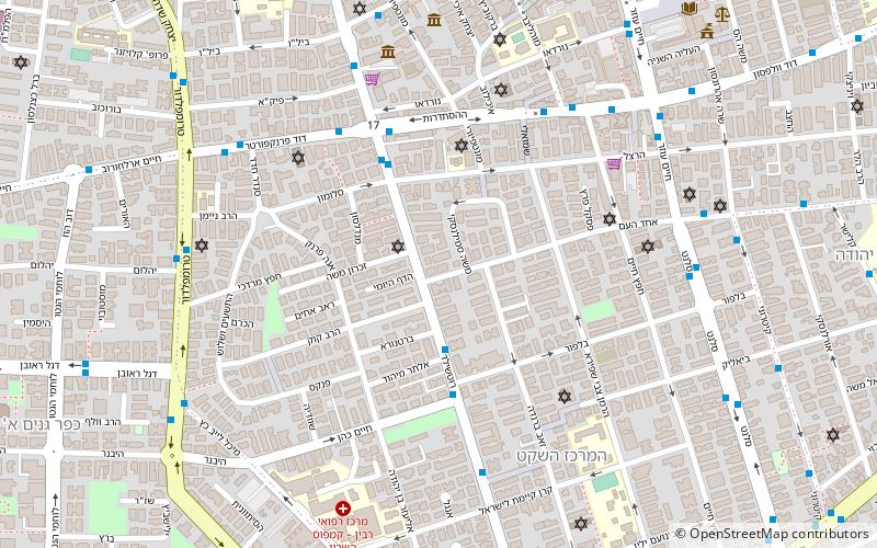
Map
Facts and practical information
The Petah Tikva Subdistrict is one of Israel's subdistricts in Central District. The subdistrict was created from an amalgamation of parts of Mandatory Palestine's Jaffa Subdistrict, Ramle Subdistrict, and Tulkarm Subdistrict ()
Area: 109.65 mi²Coordinates: 32°4'60"N, 34°53'0"E
Address
Petah Tikva
ContactAdd
Social media
Add
Day trips
Petah Tikva Subdistrict – popular in the area (distance from the attraction)
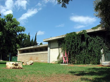
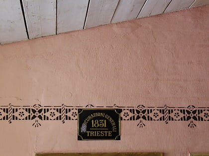
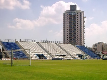
Nearby attractions include: Great Synagogue, Petah Tikva Museum of Art, Byt hdpws, Petah Tikva Municipal Stadium.
Frequently Asked Questions (FAQ)
Which popular attractions are close to Petah Tikva Subdistrict?
Nearby attractions include Byt hdpws, Petah Tikva (8 min walk), Great Synagogue, Petah Tikva (11 min walk), Petah Tikva Museum of Art, Petah Tikva (17 min walk).
How to get to Petah Tikva Subdistrict by public transport?
The nearest stations to Petah Tikva Subdistrict:
Bus
Bus
- מוניות שירות 51 (12 min walk)
- Petah Tikva Central Bus Station (21 min walk)


