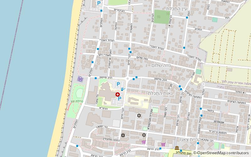
HaSharon Subdistrict, Netanya
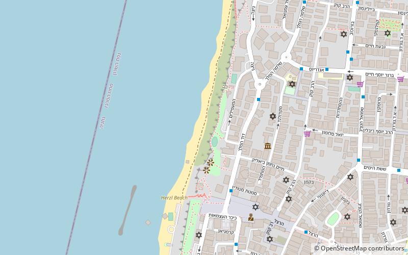
Map
Facts and practical information
The HaSharon Subdistrict is one of Israel's subdistricts in Central District. The subdistrict is composed of most of Mandatory Tulkarm Subdistrict that was occupied by the newly established state of Israel in 1949. The rest of Mandatory Tulkarm Subdistrict to the East of the Green Line constitutes modern Tulkarm Governorate. ()
Area: 134.36 mi²Coordinates: 32°19'60"N, 34°50'60"E
Address
Netanya
ContactAdd
Social media
Add
Getting there by public transportation
Public transportation stops near this location
- Bus
- Train
 Bus
Bus
- Calculate routeNetanya Central Bus Station 17 min walk
- Calculate routeSmilansky/Yirmiyahu Halperin 20 min walk
- Calculate routeBet HaBe'er/Nahum Sokolow 23 min walk
- Calculate routeBinyamin Blvd/Tahkemoni 24 min walk
- Calculate routeNetanya 38 min walk
Day trips


Frequently Asked Questions (FAQ)
Which popular attractions are close to HaSharon Subdistrict?
Nearby attractions include The Central Library for the Blind, Netanya (9 min walk), Sea Opera, Netanya (14 min walk).
How to get to HaSharon Subdistrict by public transport?
The nearest stations to HaSharon Subdistrict:
Bus
Train
Bus
- Netanya Central Bus Station (17 min walk)
- Smilansky/Yirmiyahu Halperin • Lines: 13, 4alef (20 min walk)
Train
- Netanya (38 min walk)