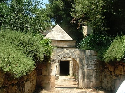
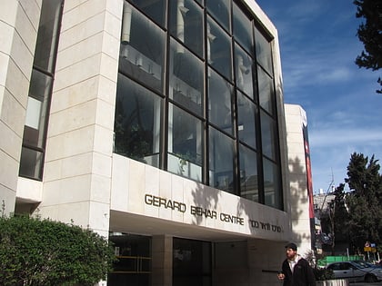
Gaza Street, Jerusalem
Map
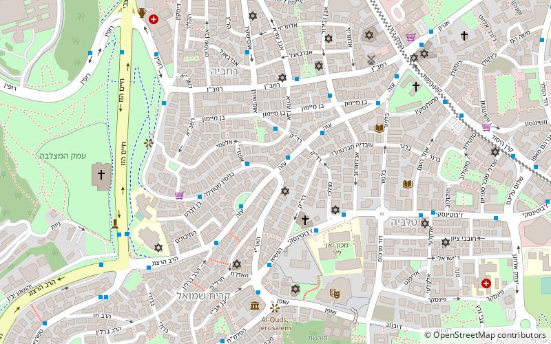
Map

Facts and practical information
Gaza Street or Gaza Road is a main street in Rehavia neighborhood in Jerusalem. ()
Coordinates: 31°46'20"N, 35°12'49"E
Address
רחביה (rhbyh)Jerusalem
ContactAdd
Social media
Add
Day trips
Gaza Street – popular in the area (distance from the attraction)
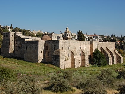
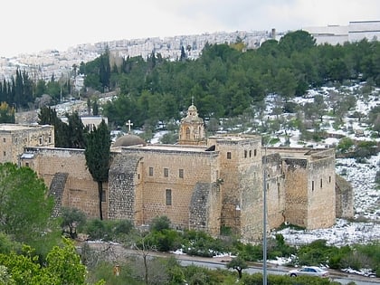
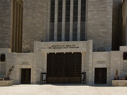
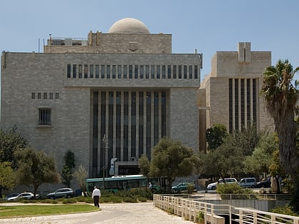
Nearby attractions include: Museum for Islamic Art, Monastery of the Cross, Valley of the Cross, Great Synagogue.
Frequently Asked Questions (FAQ)
Which popular attractions are close to Gaza Street?
Nearby attractions include Jason's Tomb, Jerusalem (3 min walk), Beit HaNassi, Jerusalem (5 min walk), Albert Einstein Square, Jerusalem (5 min walk), Rehavia, Jerusalem (6 min walk).
How to get to Gaza Street by public transport?
The nearest stations to Gaza Street:
Bus
Train
Bus
- The Cinematheque/Hevron Road • Lines: 231 (18 min walk)
- Hativat Yerushalayim/Yitshak Kariv • Lines: 231 (21 min walk)
Train
- Jerusalem - Yitzhak Navon (33 min walk)


