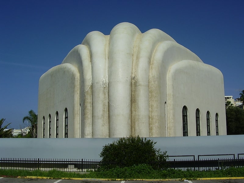
Yehuda HaMaccabi, Tel Aviv
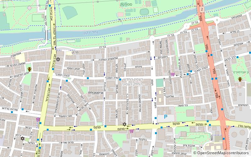
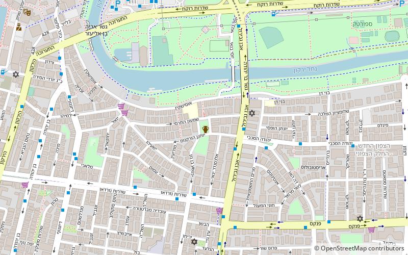
Map
Facts and practical information
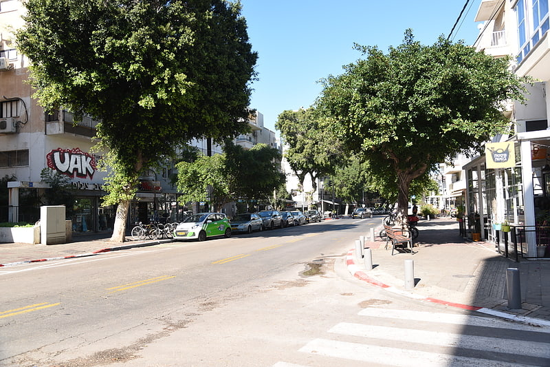
Yehuda Hamaccabi is a neighborhood in the north-central part of Tel Aviv. It is named after Judas Maccabeus, one of the great warriors in Jewish history, who led the Maccabean Revolt against the Seleucid Empire. ()
Coordinates: 32°5'38"N, 34°47'19"E
Address
הצפון החדש - צפון (hzpwn hhds - zpwn)Tel Aviv
ContactAdd
Social media
Add
Getting there by public transportation
Public transportation stops near this location
- Bus
- Train
 Bus
Bus
- Calculate routeReading Terminal 17 min walk
- Calculate routenamir jabotinstky 18 min walk
- Calculate routeTerminal 2000 23 min walk
- Calculate routeUniversity Train Station Bus Terminus 31 min walk
- Calculate routeTel Aviv Savidor Center 23 min walk
- Calculate routeTel Aviv University 30 min walk
Day trips


Frequently Asked Questions (FAQ)
Which popular attractions are close to Yehuda HaMaccabi?
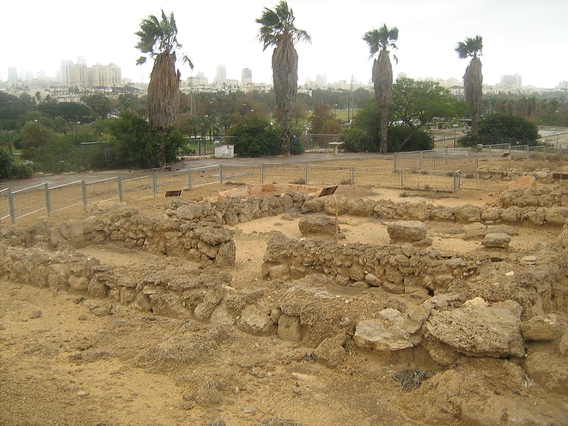
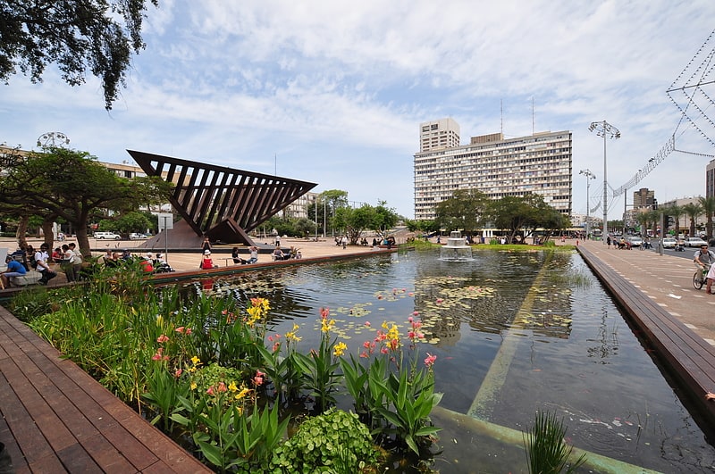
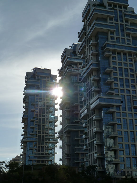
Nearby attractions include Sportek, Tel Aviv (8 min walk), Tzameret Towers, Tel Aviv (10 min walk), Abattoir Hill, Tel Aviv (10 min walk), Zemack Contemporary Art, Tel Aviv (11 min walk).
How to get to Yehuda HaMaccabi by public transport?
The nearest stations to Yehuda HaMaccabi:
Bus
Train
Bus
- Reading Terminal (17 min walk)
- namir jabotinstky (18 min walk)
Train
- Tel Aviv Savidor Center (23 min walk)
- Tel Aviv University (30 min walk)