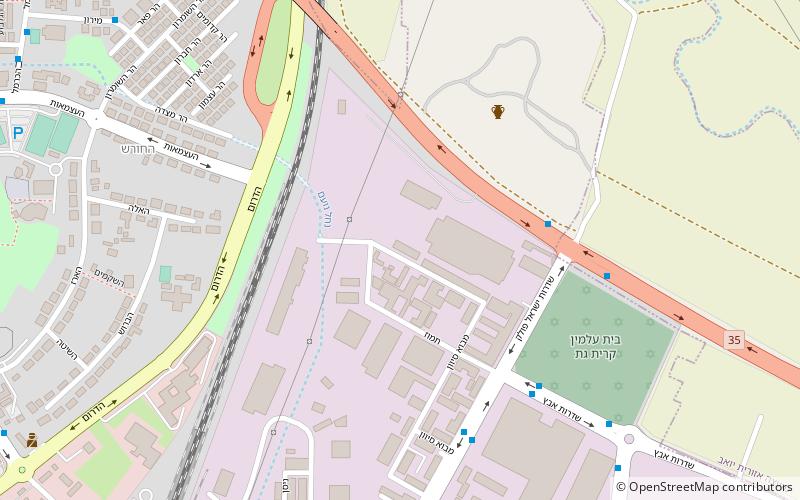
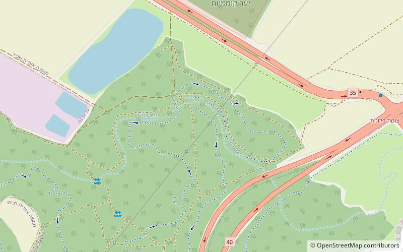
Kefar Shihlayim, Kiryat Gat

Map
Facts and practical information
Kefar Shiḥlayim, a place name compounded of the word "Kefar" plus a denominative, was a Jewish town in the Judean lowlands during the Second Temple period. The town is mentioned several times in Hebrew classical literature, viz. the Babylonian Talmud, the Jerusalem Talmud and in Midrash Rabba, and is thought to have been destroyed during the Bar Kochba revolt, alongside the villages of Bish and Dikrin, although later resettled. ()
Coordinates: 31°36'30"N, 34°46'59"E
Address
Kiryat Gat
ContactAdd
Social media
Add
Day trips
Kefar Shihlayim – popular in the area (distance from the attraction)
Nearby attractions include: Tel Lachish, Tel Erani, Tell el-Hesi, Tel Zayit.


