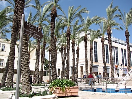
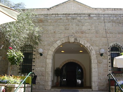
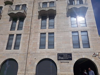
Street of the Prophets, Jerusalem
Map
Gallery
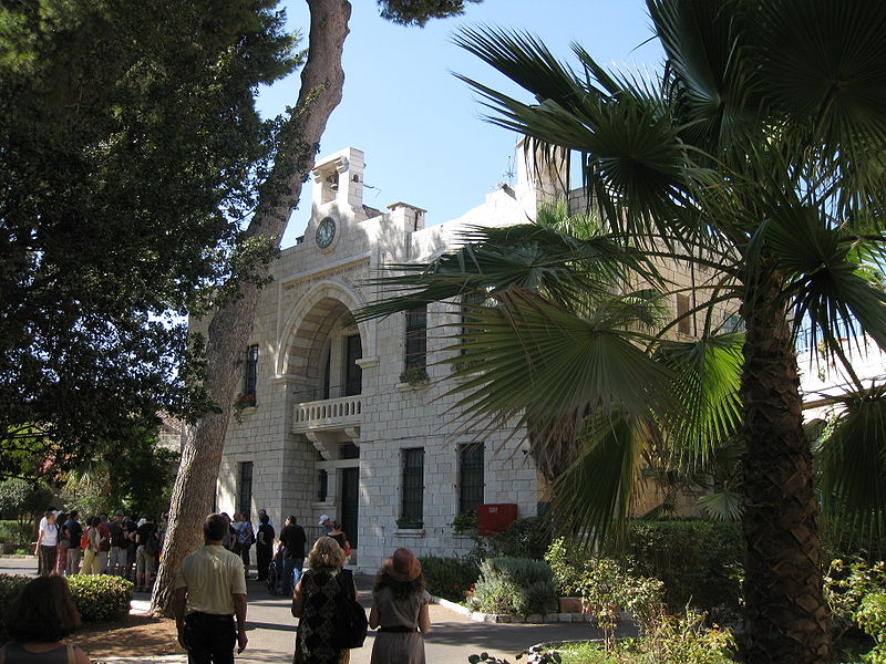
Facts and practical information
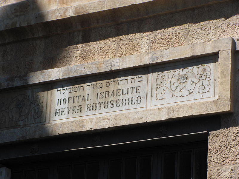
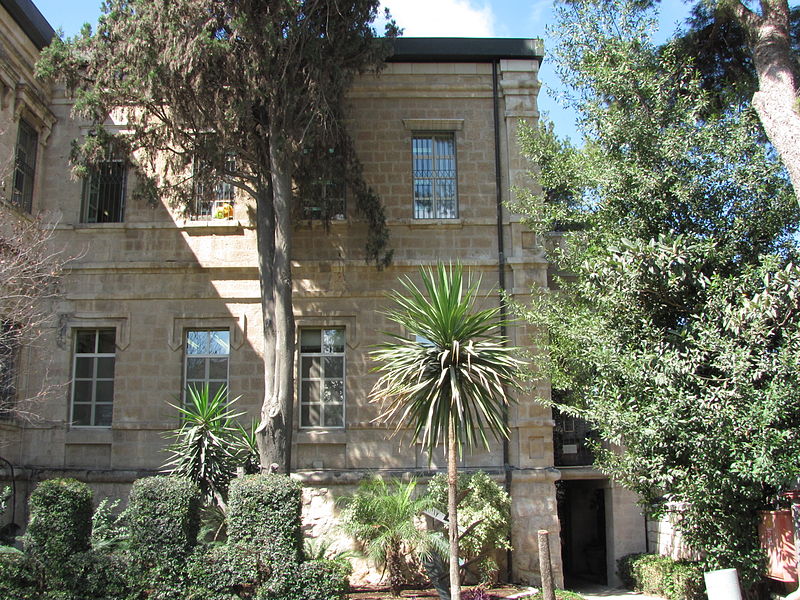
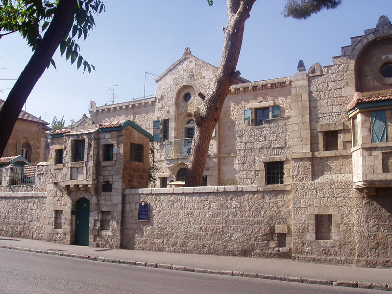
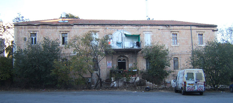
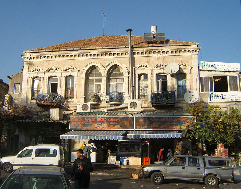
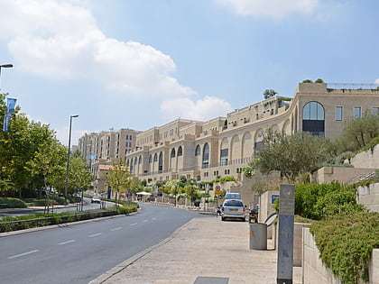
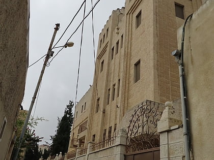
Street of the Prophets is an east–west axis road in Jerusalem beginning outside Damascus Gate and ending at Davidka Square. Located to the north of Jaffa Road, it bisects the neighborhood of Musrara. ()
Address
מאה שערים (mh srym)Jerusalem
ContactAdd
Social media
Add
Day trips
Street of the Prophets – popular in the area (distance from the attraction)
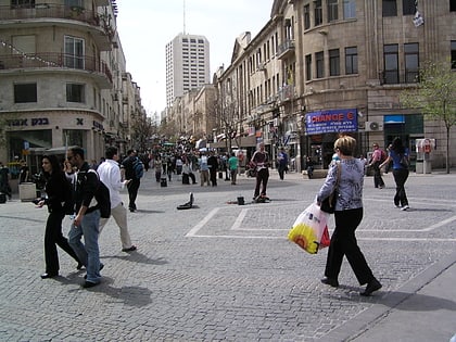
Nearby attractions include: Ben Yehuda Street, Mamilla Mall, Clal Center, Russian Compound.
Frequently Asked Questions (FAQ)
Which popular attractions are close to Street of the Prophets?
Nearby attractions include Russian Compound, Jerusalem (4 min walk), Museum of Underground Prisoners, Jerusalem (4 min walk), Ethiopian Church, Jerusalem (4 min walk), Kidane Mehret Church, Jerusalem (4 min walk).
How to get to Street of the Prophets by public transport?
The nearest stations to Street of the Prophets:
Bus
Bus
- Damascus gate bus station (9 min walk)
- Green Palestinian Bus Station (9 min walk)


