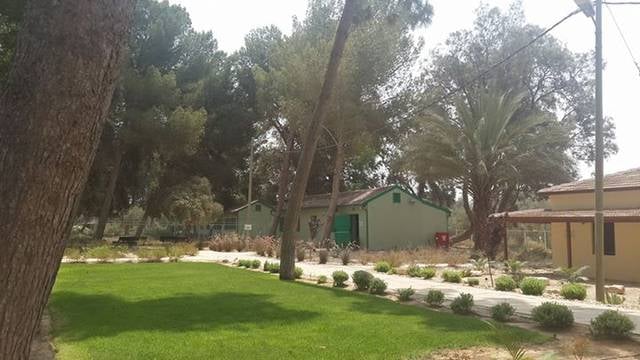
Ramat HaNegev Regional Council, Sde Boker

Gallery (1)
Map
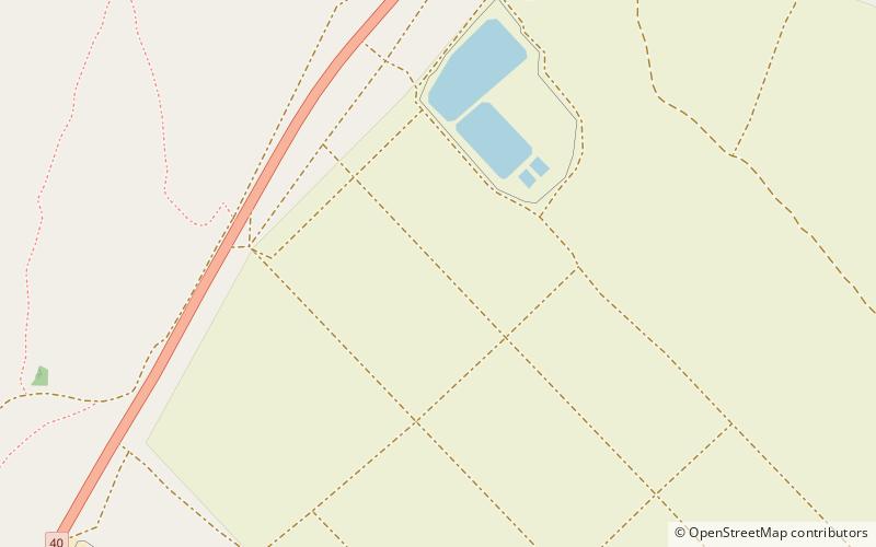
Map
Facts and practical information
Ramat HaNegev Regional Council is a regional council in the Negev desert in Israel. With around 8,000 residents spread across 20 villages, the council is geographically the largest in Israel, covering more than 20% of Israel's landmass. The council's headquarters are located on Highway 40 between Mashabei Sadeh and Tlalim. ()
Day trips