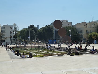
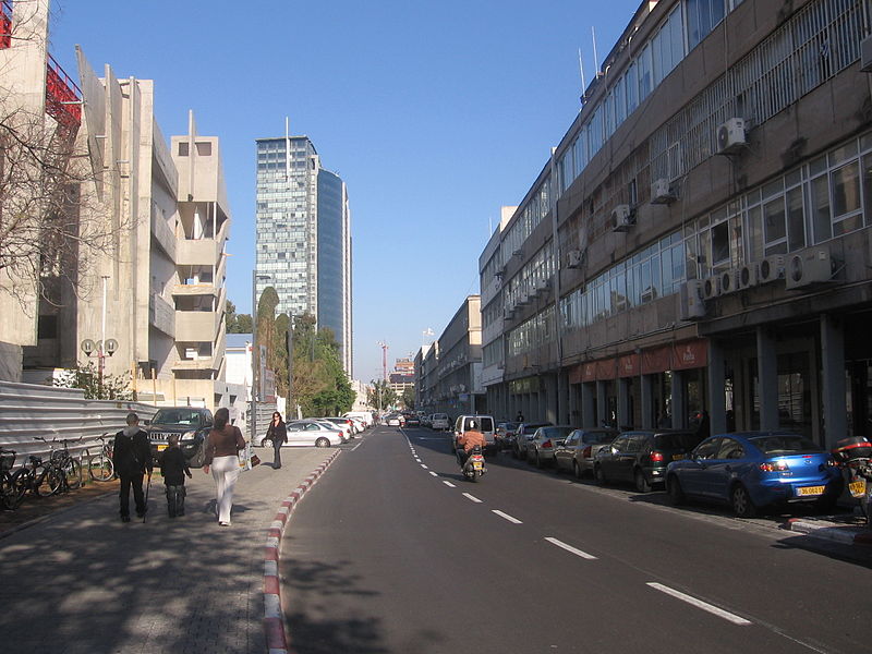
HaArba'a Street, Tel Aviv
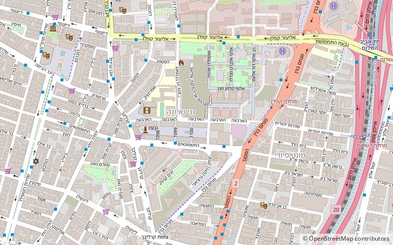
Map
Gallery
Facts and practical information
Local name: רחוב הארבעהCoordinates: 32°4'13"N, 34°47'8"E
Address
הקריה (hqryh)Tel Aviv
ContactAdd
Social media
Add
Day trips
HaArba'a Street – popular in the area (distance from the attraction)
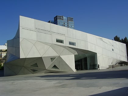
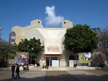
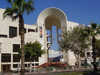
Nearby attractions include: Rothschild Boulevard, London Ministores Mall, Tel Aviv Museum of Art, Tel Aviv Cinematheque.
Frequently Asked Questions (FAQ)
Which popular attractions are close to HaArba'a Street?
Nearby attractions include Medial Tower, Tel Aviv (2 min walk), Sarona Market, Tel Aviv (3 min walk), Kaplan Street, Tel Aviv (6 min walk), Montefiore, Tel Aviv (7 min walk).
How to get to HaArba'a Street by public transport?
The nearest stations to HaArba'a Street:
Train
Bus
Train
- Tel Aviv Hashalom (13 min walk)
- Tel Aviv - HaHagana (29 min walk)
Bus
- Terminal 2000 (28 min walk)
- Tel Aviv New Central Bus Station (28 min walk)


