Mairie de Koumassi, Abidjan
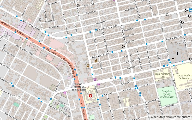
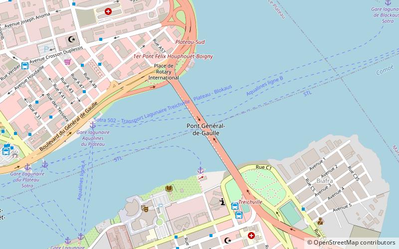
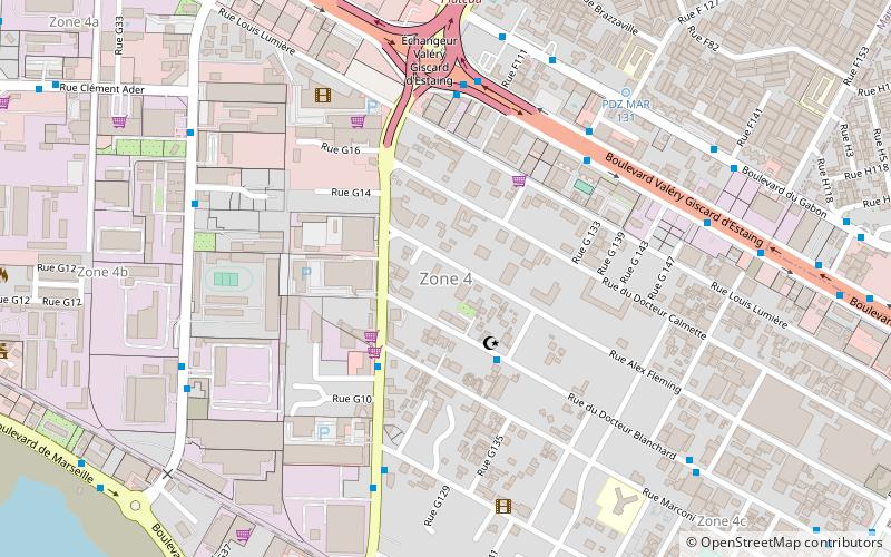
Map
Facts and practical information
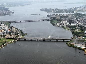
Koumassi is a suburb of Abidjan, Ivory Coast. It is one of the 10 urban communes of the city. Koumassi is one of four communes of Abidjan that are entirely south of Ébrié Lagoon, the others being Treichville, Marcory, and Port-Bouët. ()
Getting there by public transportation
Public transportation stops near this location
- Bus
 Bus
Bus
- Calculate route6e Arrondissement Koumassi 2 min walk
- Calculate routeGrande Mosquée Koumassi 4 min walk
- Calculate routeTerminus Grd Carrefour Koumassi 4 min walk
- Calculate routeGrand Carrefour Koumassi 5 min walk
Day trips
Mairie de Koumassi – popular in the area (distance from the attraction)
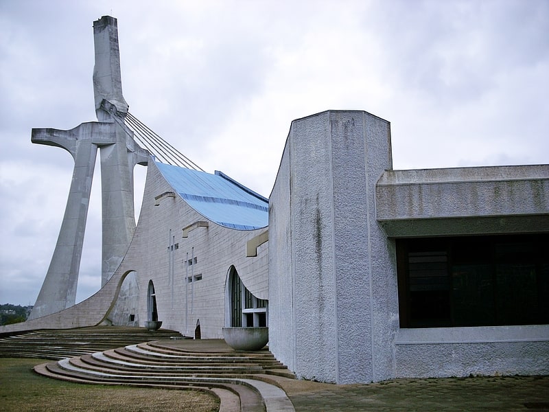
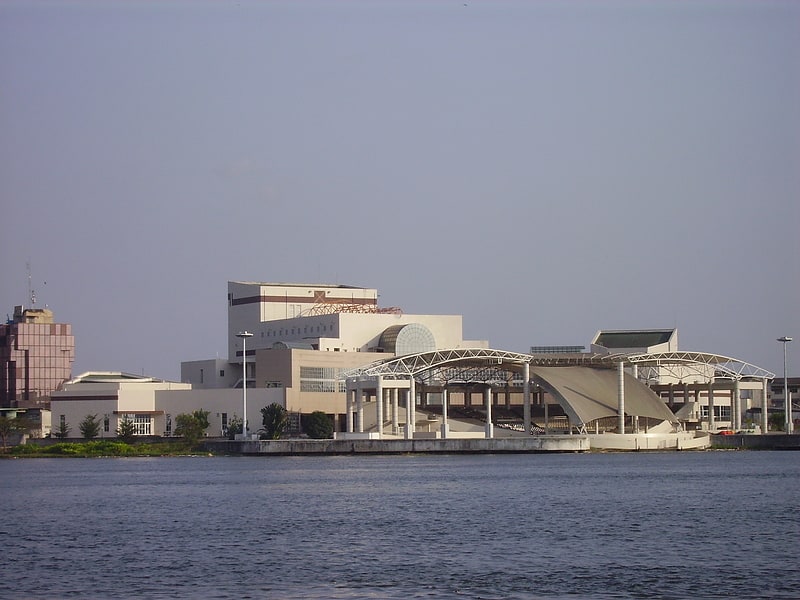
Nearby attractions include: St. Paul's Cathedral, Musée Municipal d'Art Contemporain, Culture Palace of Abidjan, Piscine d’État de Treichville.


Frequently Asked Questions (FAQ)
How to get to Mairie de Koumassi by public transport?
The nearest stations to Mairie de Koumassi:
Bus
Bus
- 6e Arrondissement Koumassi • Lines: 13, 33 (2 min walk)
- Grande Mosquée Koumassi • Lines: 13, 33 (4 min walk)