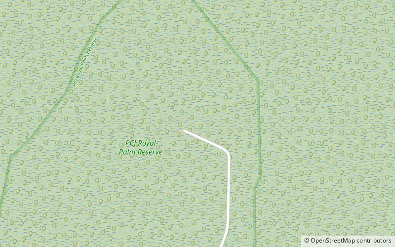
Royal Palm Reserve, Negril

Gallery (1)
Map
Map
Facts and practical information
Royal Palm Reserve is a place located in Negril (Westmoreland parish) and belongs to the category of sightseeing.
It is situated at an altitude of 13 feet, and its geographical coordinates are 18°17'37"N latitude and 78°18'54"W longitude.
Among other places and attractions worth visiting in the area are: Seven Mile Beach (beach, 49 min walk), Negril Hills Golf Club (bars and clubs, 61 min walk), Kool Runnings Adventure Park (water park, 74 min walk).
Coordinates: 18°17'37"N, 78°18'54"W
Day trips


