Hardwar Gap

Map
Facts and practical information
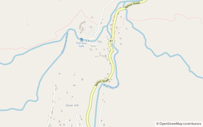
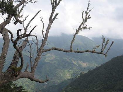
Hardwar Gap is a natural gap located in the Blue Mountains, on the border between Saint Andrew Parish and Portland Parish. It lies at an elevation of 1,220 metres, and was named for Captain Hardwar, a British army captain who was supervising the construction of the road that cuts from this gap to Buff Bay. ()
Maximum elevation: 4003 ftCoordinates: 18°8'53"N, 76°42'57"W
Location
Portland
ContactAdd
Social media
Add
Day trips
Hardwar Gap – popular in the area (distance from the attraction)
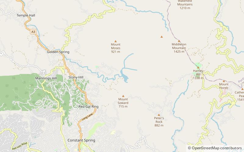
Nearby attractions include: Blue Mountains, Hermitage Dam.

