Ocho Rios Cruise Ship Terminal, Ocho Rios
Map
Facts and practical information
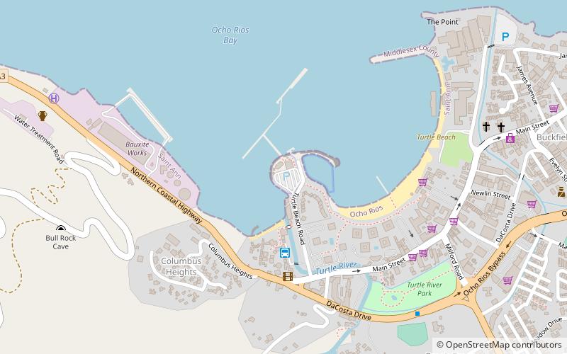
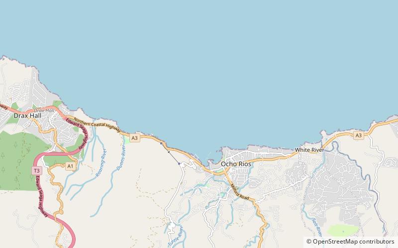
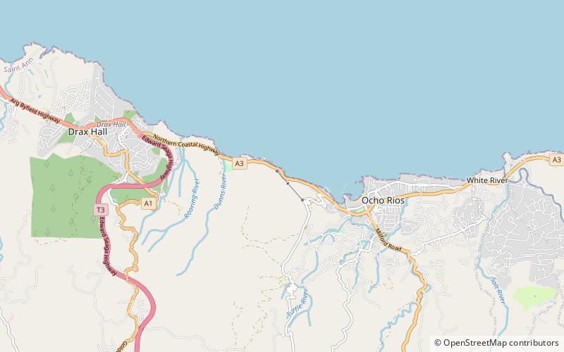
Ocho Rios Cruise Ship Terminal is a place located in Ocho Rios (Saint Ann parish) and belongs to the category of sailing, marina.
It is situated at an altitude of 7 feet, and its geographical coordinates are 18°24'32"N latitude and 77°6'38"W longitude.
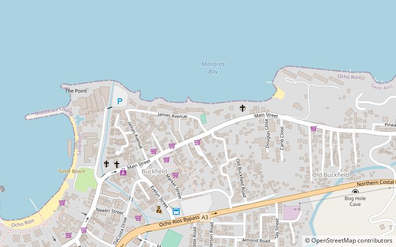
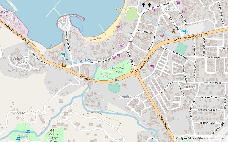
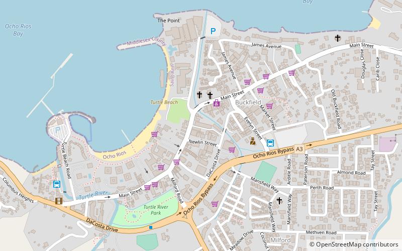
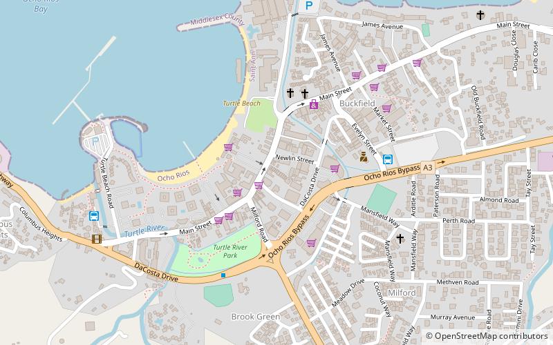
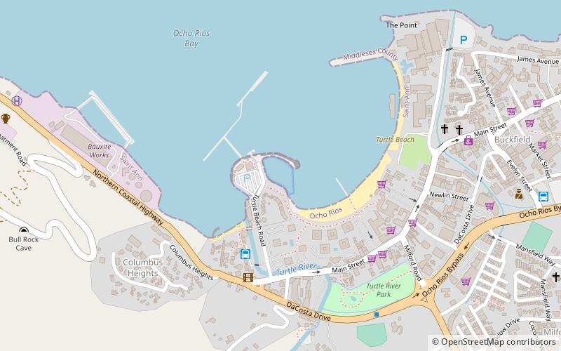
Among other places and attractions worth visiting in the area are: Yacht Harbour Marina (sailing, 2 min walk), Turtle River Park (park, 9 min walk), Island Plaza (shopping, 10 min walk).
Coordinates: 18°24'32"N, 77°6'38"W
Address
Ocho Rios
ContactAdd
Social media
Add
Day trips
Ocho Rios Cruise Ship Terminal – popular in the area (distance from the attraction)
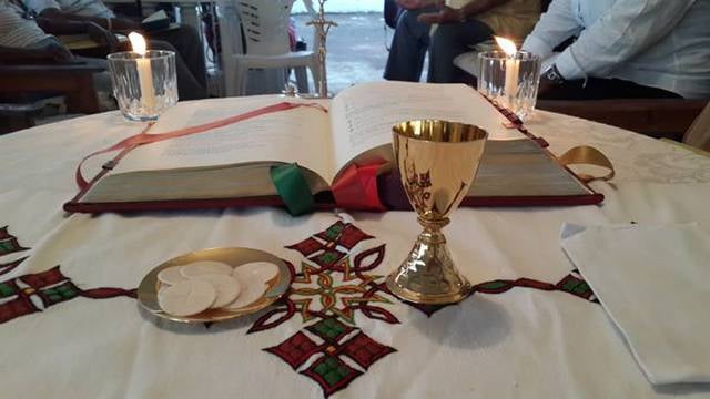
Nearby attractions include: Our Lady Of Fatima Roman Catholic Church, Green Grotto Caves, United Pentecostal Church Ocho Rios - Bethel Tabernacle, Rainforest Adventures Mystic Mountain.
Frequently Asked Questions (FAQ)
Which popular attractions are close to Ocho Rios Cruise Ship Terminal?
Nearby attractions include Yacht Harbour Marina, Ocho Rios (2 min walk), Turtle River Park, Ocho Rios (9 min walk), United Pentecostal Church Ocho Rios - Bethel Tabernacle, Ocho Rios (18 min walk), Our Lady Of Fatima Roman Catholic Church, Ocho Rios (22 min walk).