Port Royal Cays, Kingston

Map
Facts and practical information
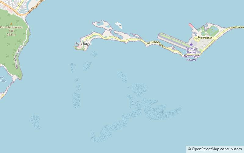
The Port Royal Cays is a small group of uninhabited islands or cays off Port Royal, Jamaica, located at 17°55′06.36″N 76°49′11.96″W and arranged in the shape of an atoll with a diameter between 4 and 5 km, and a total area of 12 km². The land area is about 0.03 km². There are eight named cays, including South Cay Rock which is sometimes subsumed with South Cay. ()
Alternative names: Area: 7.41 acres (0.0116 mi²)Total islands: 8Archipelago: Port Royal CaysCoordinates: 17°55'6"N, 76°49'12"W
Address
Kingston
ContactAdd
Social media
Add
Day trips
Port Royal Cays – popular in the area (distance from the attraction)
Nearby attractions include: National Gallery of Jamaica, Fort Charles, Holy Trinity Cathedral, Port Royal.


