Jabal Amman, Amman
Map
Gallery
Facts and practical information
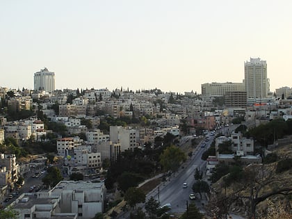
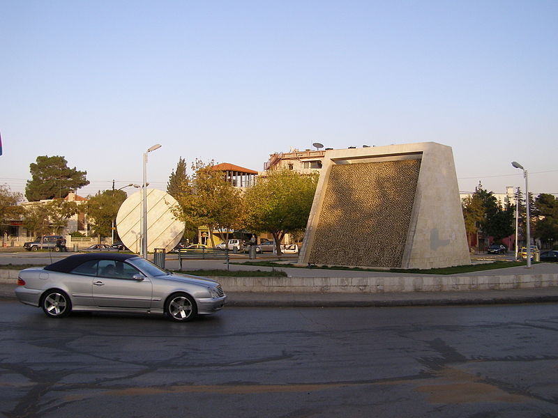
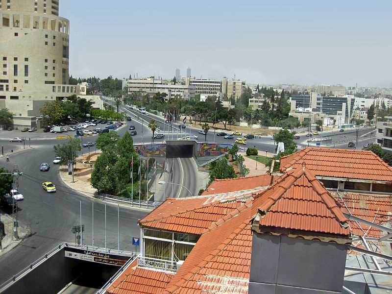
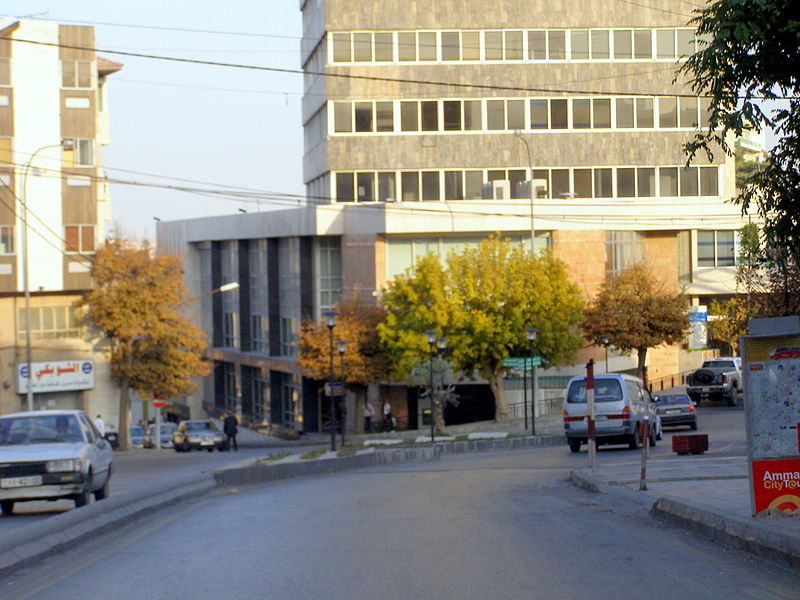
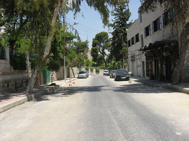
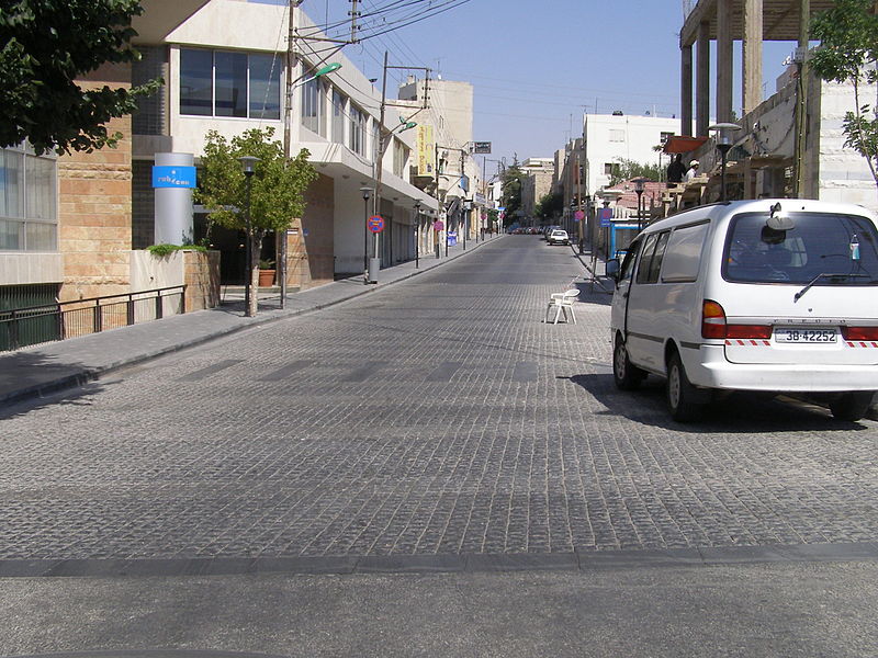
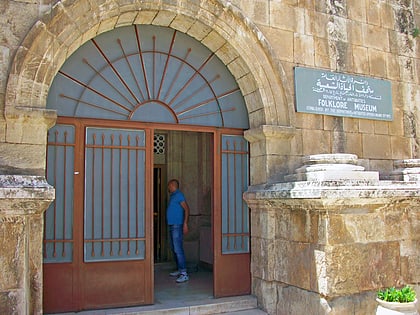
Jabal Amman neighborhood is one of the seven hills that originally made up Amman, Jordan. Today, Jabal Amman is near the downtown area. ()
Local name: جبل عمانCoordinates: 31°57'2"N, 35°55'23"E
Address
Amman
ContactAdd
Social media
Add
Day trips
Jabal Amman – popular in the area (distance from the attraction)
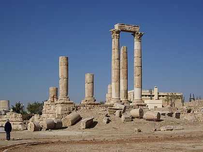
Nearby attractions include: Amman Citadel, Museum of Parliamentary Life, Control tower Ayyubid, The Jordan Museum.
Frequently Asked Questions (FAQ)
Which popular attractions are close to Jabal Amman?
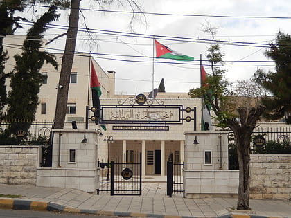
Nearby attractions include Museum of Parliamentary Life, Amman (4 min walk), Shoman Foundation mwsst bd alhmyd shwman, Amman (4 min walk), Rainbow Street, Amman (7 min walk), 7Hills Skatepark, Amman (7 min walk).
How to get to Jabal Amman by public transport?
The nearest stations to Jabal Amman:
Bus
Bus
- Townhall / Downtown / Jordan Museum (13 min walk)
- Jabal Amman Service car station (14 min walk)
