Moi Avenue, Mombasa
Map
Map

Facts and practical information
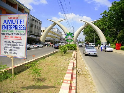
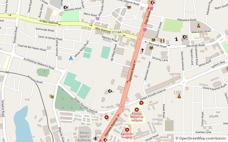
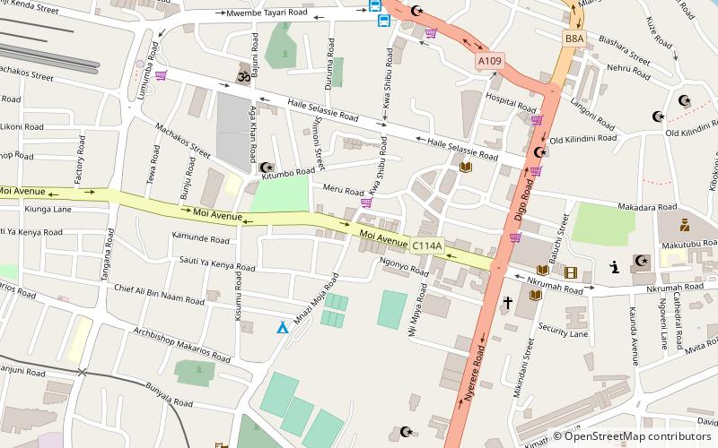
Moi Avenue is a primary thoroughfare in Mombasa, Kenya. The road runs from west to east from Kilindini to a roundabout with Digo Road. Originally called the Kilindini Road, its name was later changed in recognition of Kenya's second President, Daniel arap Moi. The road consists of two two-lane carriageways, and like Jomo Kenyatta Avenue, a central median of approximately 3 feet in width, along which flowers and shrubs are often planted. ()
Length: 5544 ftCoordinates: 4°3'42"S, 39°40'5"E
Address
Mombasa
ContactAdd
Social media
Add
Day trips
Moi Avenue – popular in the area (distance from the attraction)
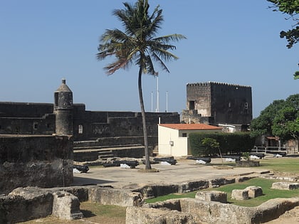
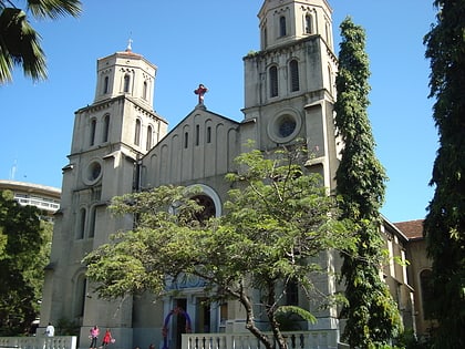
Nearby attractions include: Fort Jesus, Holy Ghost Cathedral, Kilindini Harbour, Nyali.
Frequently Asked Questions (FAQ)
Which popular attractions are close to Moi Avenue?
Nearby attractions include Holy Ghost Cathedral, Mombasa (7 min walk), Fort Jesus, Mombasa (21 min walk), Nyali, Mombasa (21 min walk).
How to get to Moi Avenue by public transport?
The nearest stations to Moi Avenue:
Bus
Bus
- Coast Bus (9 min walk)
- Mariakani Bus Station (10 min walk)
