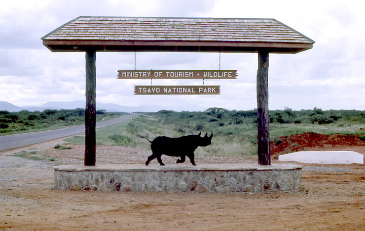
Tsavo East National Park
Map
Gallery
Facts and practical information
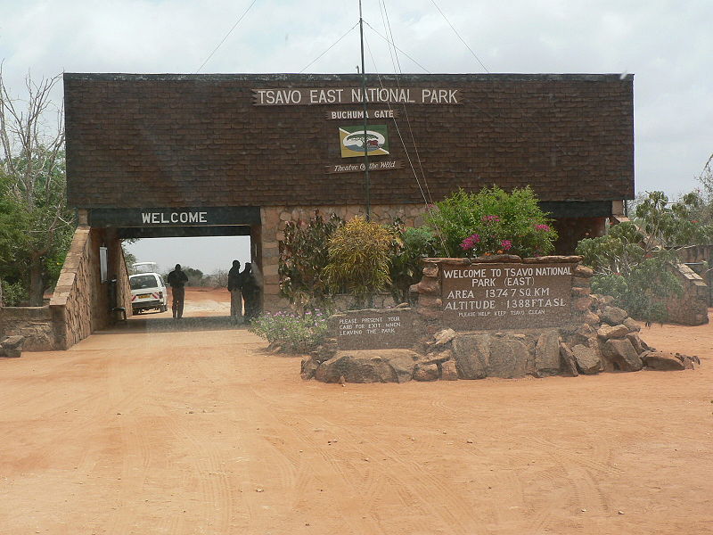
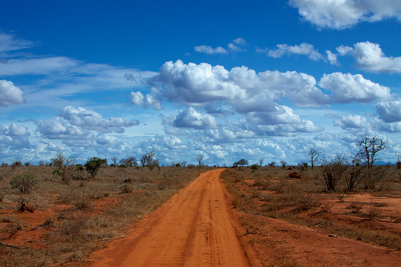
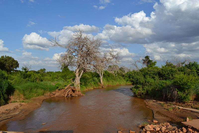
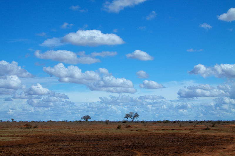
Tsavo East National Park is one of the oldest and largest parks in Kenya at 13,747 square kilometres. Situated in a semi-arid area previously known as the Taru Desert it opened in April 1948, and is located near the town of Voi in the Taita-Taveta County of the former Coast Province. The park is divided into east and west sections by the A109 road and a railway. Named for the Tsavo River, which flows west to east through the national park, it borders the Chyulu Hills National Park, and the Mkomazi Game Reserve in Tanzania. ()
Local name: Hifadhi ya Taifa ya Tsavo Mashariki Established: 1948 (78 years ago)Area: 4535.53 mi²Elevation: 1270 ft a.s.l.Coordinates: 2°46'43"S, 38°46'18"E
Location
Kitui
ContactAdd
Social media
Add
Best Ways to Experience the Park
Wildlife
AnimalsSee what popular animal species you can meet in this location.
More
Show more


