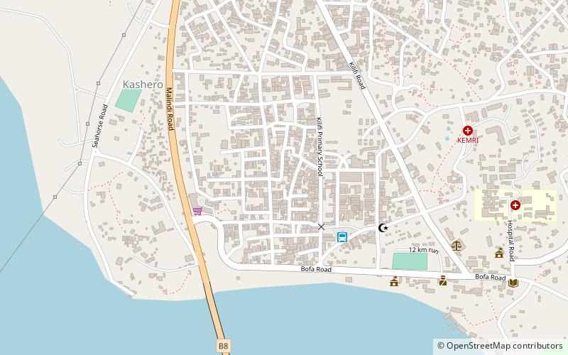
Mnarani ruins
Map

Map

Facts and practical information
The Mnarani ruins are the remains of two mosques near Mnarani in Kilifi County, Kenya. Dating from the 15th century, the mosques are located on a bluff overlooking Kilifi Creek from the southern side. The settlement at the site dates back to the 14th century, and the site also contains a number of tombs. ()
Coordinates: 3°37'52"S, 39°51'1"E
Location
Kilifi
ContactAdd
Social media
Add
Day trips
Mnarani ruins – popular in the area (distance from the attraction)
Nearby attractions include: Kilifi Bridge, Kilifi.


