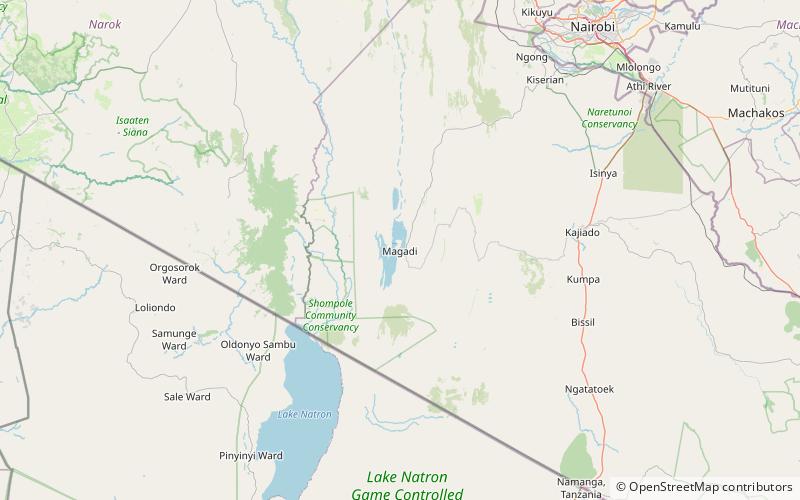
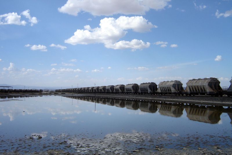
Lake Magadi

Gallery (4)
Map

Map
Gallery
Facts and practical information
Lake Magadi is the southernmost lake in the Kenyan Rift Valley, lying in a catchment of faulted volcanic rocks, north of Tanzania's Lake Natron. During the dry season, it is 80% covered by soda and is well known for its wading birds, including flamingos. ()
Location
Kajiado
ContactAdd
Social media
Add
Day trips
Lake Magadi – popular in the area (distance from the attraction)
Nearby attractions include: Magadi.