Westlands, Nairobi
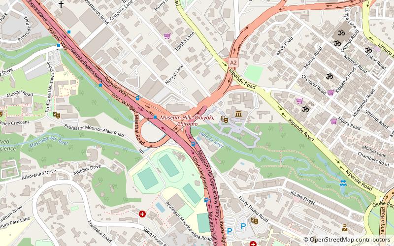
Map
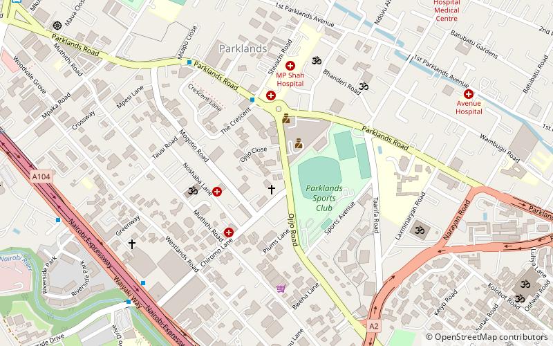
Map

Facts and practical information
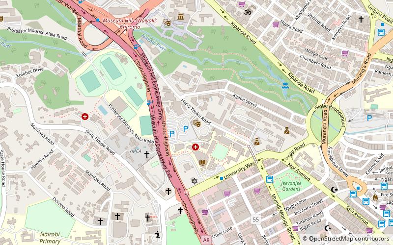
Westlands is an affluent, mixed-use commercial and residential neighborhood in Nairobi, the capital city of Kenya. Westlands is also one of the eight administrative divisions of Nairobi County, which is coterminous with Nairobi City. The other divisions are Central, Dagoretti, Embakasi, Kasarani, Kibera, Makadara and Pumwani. ()
Address
ChiromoNairobi
ContactAdd
Social media
Add
Day trips
Westlands – popular in the area (distance from the attraction)
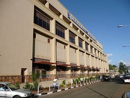
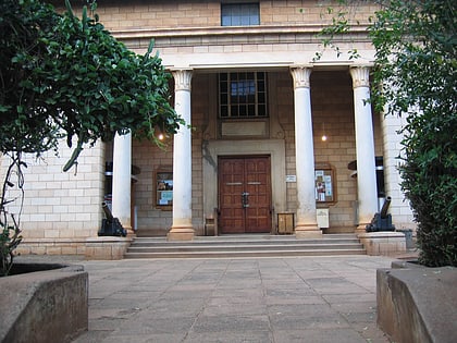
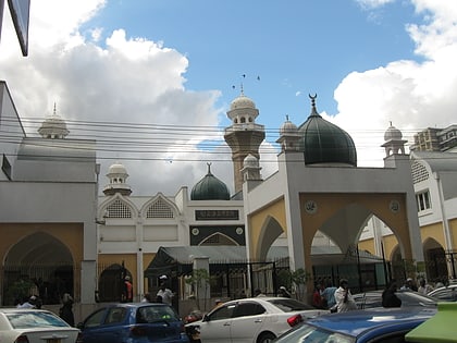
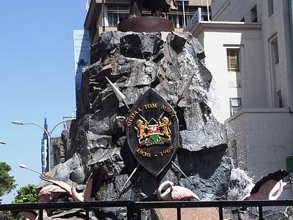
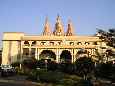
Nearby attractions include: Westgate, Nairobi National Museum, BAPS Shri Swaminarayan Mandir Nairobi, Jamia Mosque.
Frequently Asked Questions (FAQ)
Which popular attractions are close to Westlands?
Nearby attractions include Shri Swaminarayan Mandir, Nairobi (9 min walk), Nairobi Arboretum, Nairobi (14 min walk), Nairobi National Museum, Nairobi (14 min walk), BAPS Shri Swaminarayan Mandir Nairobi, Nairobi (20 min walk).
How to get to Westlands by public transport?
The nearest stations to Westlands:
Bus
Bus
- Chiromo Bus Stage (11 min walk)
- Westlands/Ngara/Town Stage (18 min walk)
