Zemra Lake, Bjeshkët e Nemuna National Park
Map
Map

Facts and practical information
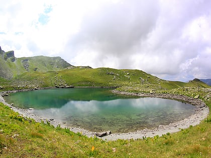
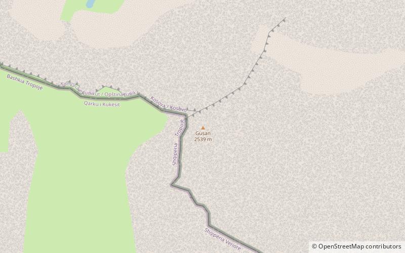
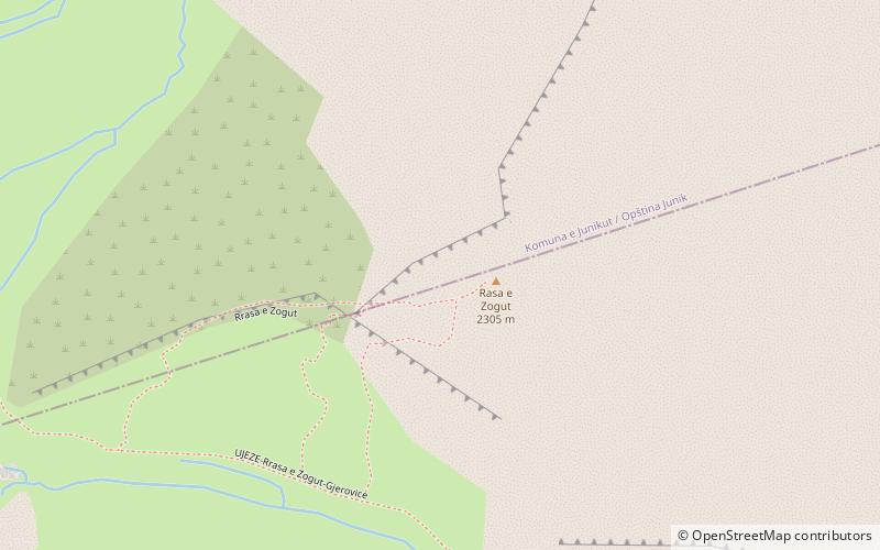
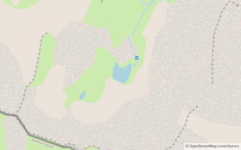
The Zemra Lake is a lake in the western edge of the Republic of Kosovo. Roughly in shape of a heart, the lake stretches inside the Prokletije, some 400 m away from Albania. It is situated between 2,200 and 2,500 metres of elevation above sea level on the northern slopes of Maja e Gusanit, near Maja e Gjeravicës. ()
Alternative names: Length: 492 ftWidth: 394 ftElevation: 7480 ft a.s.l.Coordinates: 42°31'49"N, 20°7'14"E
Address
Bjeshkët e Nemuna National Park
ContactAdd
Social media
Add
Day trips
Zemra Lake – popular in the area (distance from the attraction)
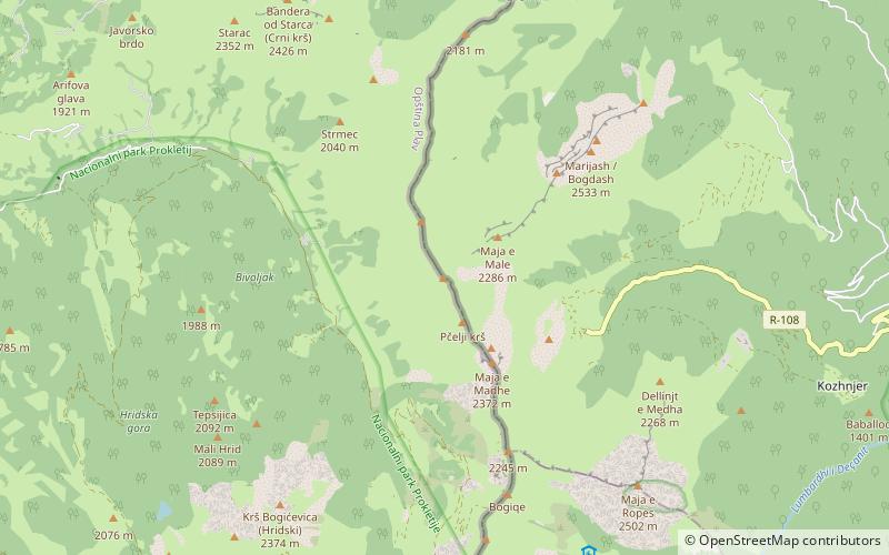
Nearby attractions include: Gjeravica Lake, Gjeravica, Bogićevica, Gusan.
