Sllakovc
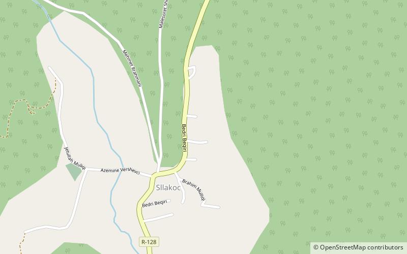
Map
Facts and practical information
Slavkovce, in Albanian: Sllakovc, is a village in eastern Kosovo. The village is situated in the southern part of the Kopaonik mountain range. The river Slakovce which originates higher up in the mountains in the northern direction and which enters the Sitnica river near Pestova flows through Sllakovc. Nearby villages include Samodreha and Ciceli. ()
Coordinates: 42°52'28"N, 21°3'6"E
Location
Pristina
ContactAdd
Social media
Add
Day trips
Sllakovc – popular in the area (distance from the attraction)
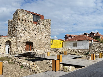
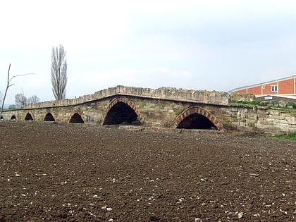
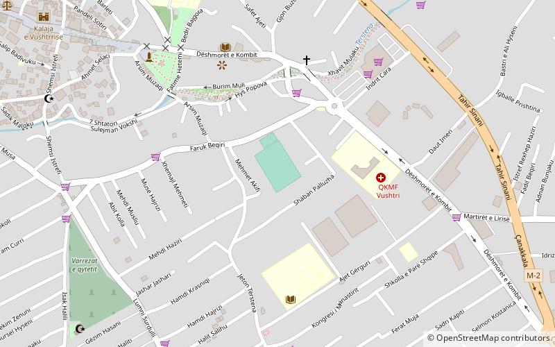
Nearby attractions include: Vojinović Tower, Vojinović Bridge, Edona, Ferki Aliu Stadium.
