Nertili, Gjakova

Gallery (1)
Map
Map
Facts and practical information
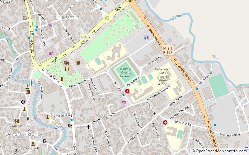
Nertili (address: Tirana, p.n) is a place located in Gjakova (Đakovica district) and belongs to the category of shopping, shopping centre.
It is situated at an altitude of 1152 feet, and its geographical coordinates are 42°22'39"N latitude and 20°26'38"E longitude.
Among other places and attractions worth visiting in the area are: City Stadium (sport, 17 min walk), BONEVET Gjakova (park, 21 min walk), Hadum Mosque (mosque, 31 min walk).
Coordinates: 42°22'39"N, 20°26'38"E
Address
Tirana, p.nGjakova
ContactAdd
Social media
Add
Day trips