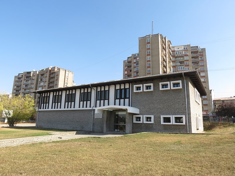
National Institute of Public Health of Kosovo, Pristina

Gallery (1)
Map

Map
Facts and practical information
The National Institute of Public Health of Kosova is the oldest and highest health, professional and scientific institution of Kosovo, which organizes, develops, supervises and implements public health policies in Kosovo. The NIPHK covers the entire territory of the Republic of Kosovo through its branches - Public Health Institutes organized in these Regional Centers: Peja, Prizren, Mitrovica, Gjilan, Gjakova, Ferizaj. ()
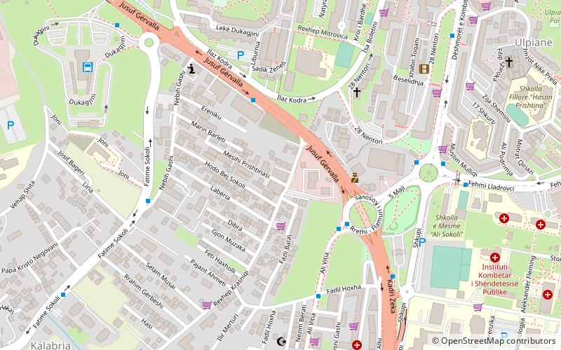
Coordinates: 42°38'44"N, 21°9'34"E
Address
Pristina
ContactAdd
Social media
Add
Getting there by public transportation
Public transportation stops near this location
- Bus
- Train
 Bus
Bus
- Calculate routeSh.M.L. Dr. Ali Sokoli 4 min walk
- Calculate routeRrethi i Flamurit 5 min walk
- Calculate routeDardania 5 min walk
- Calculate routeRrethi i Spitalit 7 min walk
- Calculate routeSh. Ekonomike 26 min walk
- Calculate routePrishtinë 27 min walk
Day trips
National Institute of Public Health of Kosovo – popular in the area (distance from the attraction)
Nearby attractions include: Kosova Art Gallery, Pristina City Stadium, Palace of Youth and Sports, Cathedral of Saint Mother Teresa.


Frequently Asked Questions (FAQ)
Which popular attractions are close to National Institute of Public Health of Kosovo?
Nearby attractions include University for Business and Technology, Pristina (10 min walk), Bill Clinton Boulevard, Pristina (19 min walk), Cathedral of Saint Mother Teresa, Pristina (20 min walk), Kosova Art Gallery, Pristina (22 min walk).
How to get to National Institute of Public Health of Kosovo by public transport?
The nearest stations to National Institute of Public Health of Kosovo:
Bus
Train
Bus
- Sh.M.L. Dr. Ali Sokoli • Lines: 3, 4 (4 min walk)
- Rrethi i Flamurit • Lines: 3, 4, 5 (5 min walk)
Train
- Sh. Ekonomike (26 min walk)
- Prishtinë (27 min walk)